环太平洋地区.svg

Size of this PNG preview of this SVG file:
800 × 406 pixels
.
Other resolutions:
320 × 162 pixels
|
640 × 325 pixels
|
1,024 × 520 pixels
|
1,280 × 650 pixels
|
2,560 × 1,299 pixels
|
940 × 477 pixels
.
Summary
| Description |
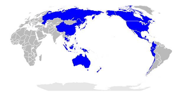
中文:
环太平洋地区,亦称亚太区。此图以太平洋为中心,直观显示大洋两岸地理
English:
Pacific Rim region, also known as the Asia-Pacific. This map places the Pacific Ocean in the center, intuitively showing the geography of both sides of the Pacific.
|
| Date | |
| Source | BlankMap-World-162E.svg |
| Author | 玖巧仔 |
| Other versions |

|
Licensing
I, the copyright holder of this work, hereby publish it under the following licenses:
This file is licensed under the
Creative Commons
Attribution-Share Alike 3.0 Unported
license.
-
You are free:
- to share – to copy, distribute and transmit the work
- to remix – to adapt the work
-
Under the following conditions:
- attribution – You must give appropriate credit, provide a link to the license, and indicate if changes were made. You may do so in any reasonable manner, but not in any way that suggests the licensor endorses you or your use.
- share alike – If you remix, transform, or build upon the material, you must distribute your contributions under the same or compatible license as the original.

|
Permission is granted to copy, distribute and/or modify this document under the terms of the GNU Free Documentation License , Version 1.2 or any later version published by the Free Software Foundation ; with no Invariant Sections, no Front-Cover Texts, and no Back-Cover Texts. A copy of the license is included in the section entitled GNU Free Documentation License . |
You may select the license of your choice.