Политическая_карта_Азии_начало_XX_века.jpg

Size of this preview:
800 × 533 pixels
.
Other resolutions:
320 × 213 pixels
|
640 × 426 pixels
|
1,024 × 682 pixels
|
1,280 × 853 pixels
|
2,560 × 1,706 pixels
|
3,194 × 2,128 pixels
.
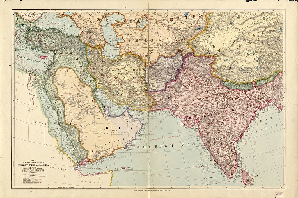
Summary
| Description |
Русский:
Политическая карта Азии начало XX века
English:
Political map of Asia in the early XX century
|
||
| Date | |||
| Source |
|
||
| Author | Edward Stanford Ltd. | ||
| Other versions | File:A map of the countries between Constantinople and Calcutta including Turkey in Asia, Persia, Afghanistan and Turkestan.tif |

Licensing
|
|
This work is in the public domain in its country of origin and other countries and areas where the copyright term is the author's life plus 70 years or fewer . This work is in the public domain in the United States because it was published (or registered with the U.S. Copyright Office ) before January 1, 1929. |
| This file has been identified as being free of known restrictions under copyright law, including all related and neighboring rights. | |