Åkrasanden_05.2010.jpg
Size of this preview:
800 × 525 pixels
.
Other resolutions:
320 × 210 pixels
|
640 × 420 pixels
|
1,024 × 672 pixels
|
1,280 × 840 pixels
|
1,600 × 1,050 pixels
.
Summary
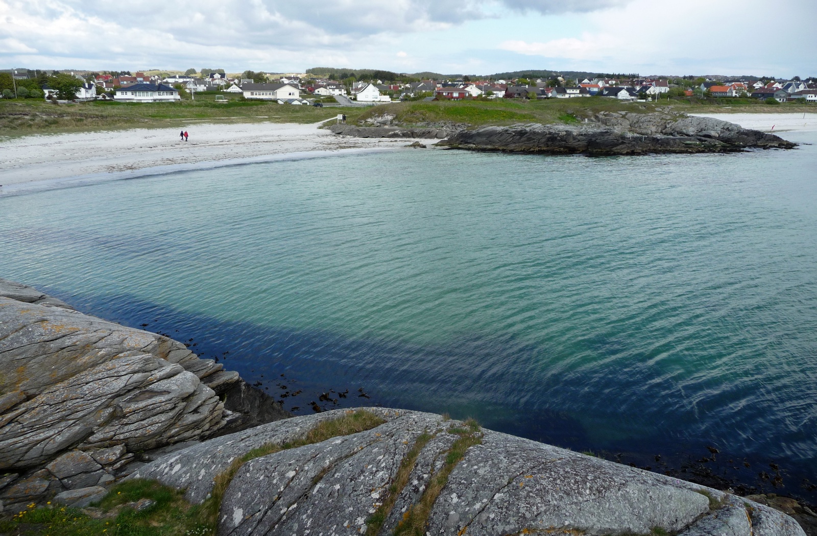
| Description | Åkrasanden 05.2010 |
| Date | |
| Source | Åkrasanden 05.2010 |
| Author | styx-x |
| Camera location |
|
View this and other nearby images on: OpenStreetMap |
|
|---|
Licensing
This file is licensed under the
Creative Commons
Attribution 3.0 Unported
license.
-
You are free:
- to share – to copy, distribute and transmit the work
- to remix – to adapt the work
-
Under the following conditions:
- attribution – You must give appropriate credit, provide a link to the license, and indicate if changes were made. You may do so in any reasonable manner, but not in any way that suggests the licensor endorses you or your use.
|
|
This image was originally posted to Panoramio by styx-x at https://www.panoramio.com/photo/36166683 . It was reviewed on 23 December 2014 by the Panoramio Review Bot robot and was confirmed to be licensed under the terms of the cc-by-3.0. |