Wolf_Trap_(national_park)_meadow_pavilion.jpg
Size of this preview:
800 × 533 pixels
.
Other resolutions:
320 × 213 pixels
|
640 × 426 pixels
|
1,024 × 682 pixels
|
1,280 × 852 pixels
|
2,560 × 1,704 pixels
|
4,386 × 2,920 pixels
.
| Camera location |
|
View this and other nearby images on: OpenStreetMap |
|
|---|
_meadow_pavilion.jpg¶ms=038.938232_N_-077.263176_E_globe:Earth_type:camera_scale:500_&language=en)
| Description |
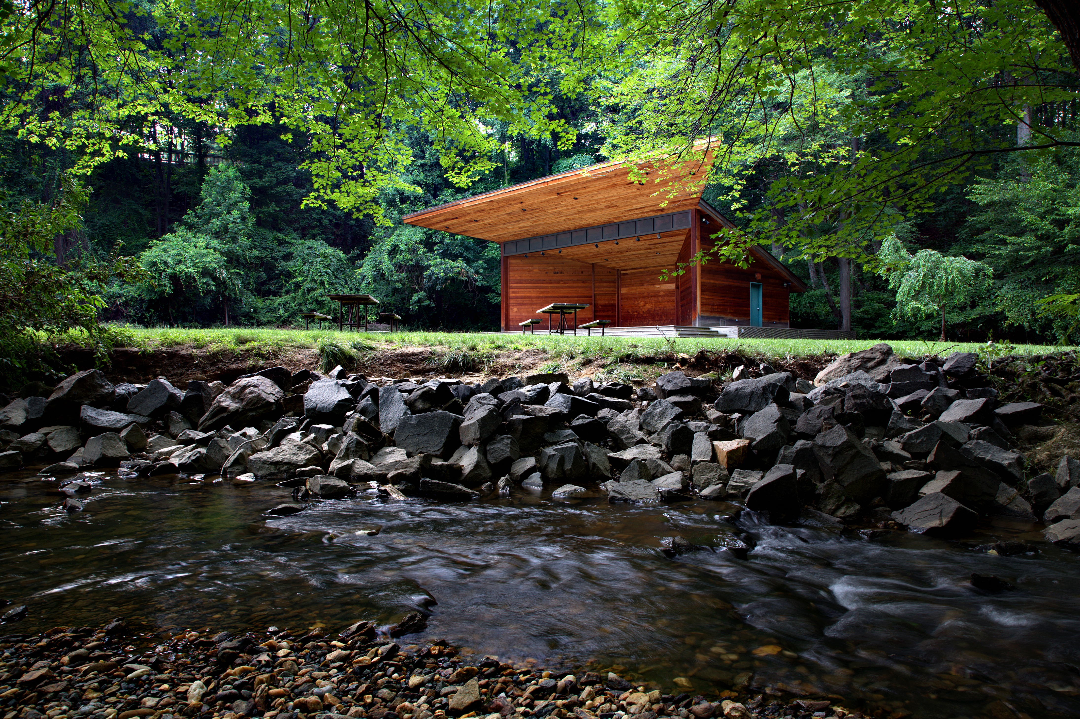
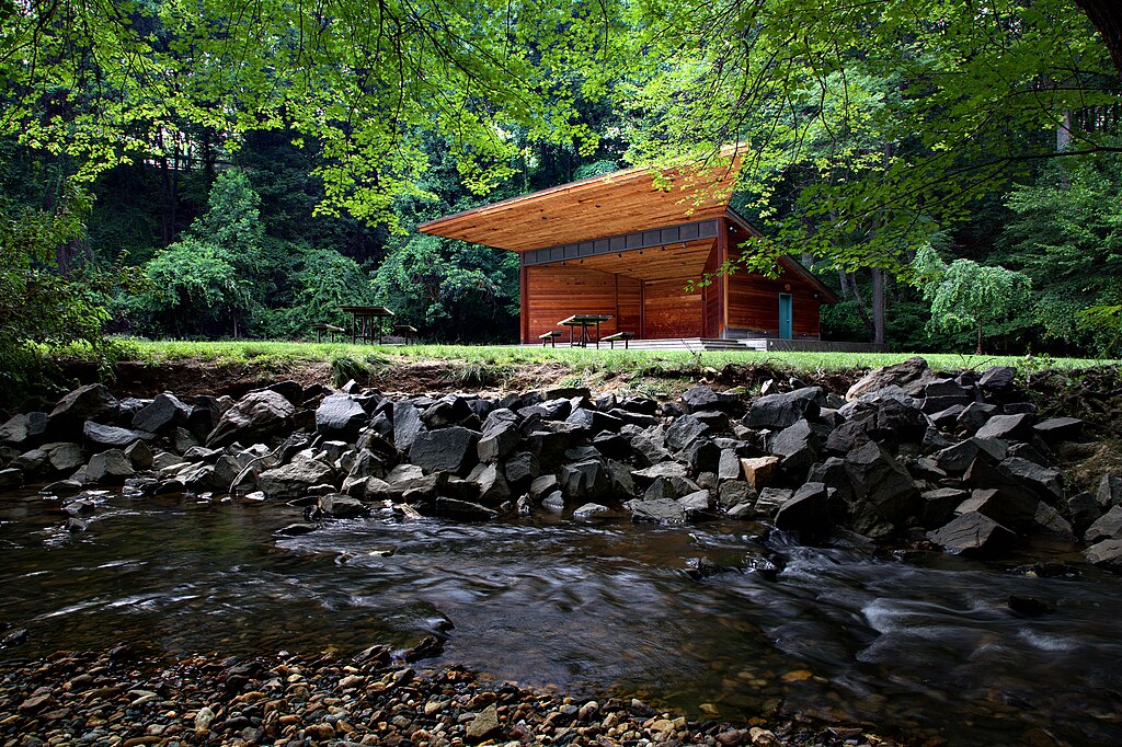
English:
Meadow Pavilion at
Wolf Trap National park
as seen from Wolf Trap Run.
Français :
Le
Meadow Pavilion
vu du ruisseau Wolf Trap. Parc de Wolf Trap, près de Washington.
|
| Date | UTC |
| Source | By uploader. |
| Author | Gregory F. Maxwell < [email protected] > PGP : 0xB0413BFA |
|
Permission
( Reusing this file ) |
GFDL 1.2 only |
| Related images |
_meadow_pavilion_(front).jpg)
|
Equipment
- Canon 5D
- 24-105 F/4
- Shot at 24mm, F/14, ISO 100, 1/3 second.
|
|
This image has been assessed using the
Quality image guidelines
and is considered a
Quality image
.
|
I, the copyright holder of this work, hereby publish it under the following license:

|
Permission is granted to copy, distribute and/or modify this document under the terms of the GNU Free Documentation License , Version 1.2 only as published by the Free Software Foundation ; with no Invariant Sections, no Front-Cover Texts, and no Back-Cover Texts. A copy of the license is included in the section entitled GNU Free Documentation License . | 1.2 only |