WiGLE_map_United_States.png
Size of this preview:
800 × 600 pixels
.
Other resolutions:
320 × 240 pixels
|
640 × 480 pixels
|
1,024 × 768 pixels
.
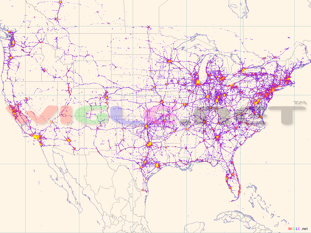
| Description | A map of Wi-Fi nodes in the United States collected by the WiGLE project. |
| Date | |
| Source | WiGLE.net |
| Author | Bobzilla |
|
Permission
( Reusing this file ) |
This file is licensed under the
Creative Commons
Attribution-Share Alike 2.5 Generic
license.
|
| Other versions |
Related images:
|


