Westbankjan06-jerusalem-etzion.jpg
No higher resolution available.
Summary

|
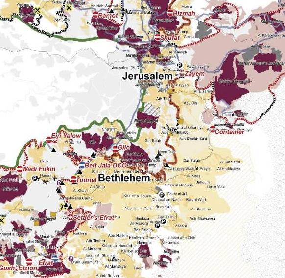
This
ethnographic map
image could be re-created
using
vector graphics
as an
SVG
file
. This has several advantages; see
Commons:Media for cleanup
for more information. If an SVG form of this image is available, please upload it and afterwards replace this template with
{{

vector version available

|

new image name

}}
.
It is recommended to name the SVG file “Westbankjan06-jerusalem-etzion.svg”—then the template Vector version available (or Vva ) does not need the new image name parameter. |


| Description |
English:
Piece of
en:Image:Westbankjan06-modiin-jerusalem-etzion.jpg
|
| Date | 26 November 2007 (original upload date) |
| Source | Transferred from en.wikipedia to Commons by Drilnoth using CommonsHelper . |
| Author | The original uploader was JWB at English Wikipedia . |
Licensing
|
|
This image is a map derived from a
United Nations
map.
Unless stated otherwise, UN maps are to be considered in the public domain. This applies worldwide.
UN maps are, in principle, open source material and you can use them in your work or for making your own map. UN requests however that you delete the UN name, logo and reference number upon any modification to the map. Content of your map will be your responsibility. You can state in your publication, if you wish, something like: based on UN map … (map name, map number, revision number and date). See: Geospatial Information Section . And: Geospatial, location data for a better world . |

|
Original upload log
The original description page was
here
. All following user names refer to en.wikipedia.
- 2007-11-26 20:43 JWB 582×568× (89079 bytes) Piece of [[:Image:Westbankjan06-modiin-jerusalem-etzion.jpg]]
- 2007-11-26 20:43 JWB 1433×941× (245986 bytes) Piece of [[:Image:Westbankjan06-modiin-jerusalem-etzion.jpg]]