Waiheke_Island_Seen_From_Above_West.jpg
Size of this preview:
800 × 600 pixels
.
Other resolutions:
320 × 240 pixels
|
640 × 480 pixels
|
1,024 × 768 pixels
|
1,280 × 960 pixels
|
1,600 × 1,200 pixels
.
Summary
| Description |
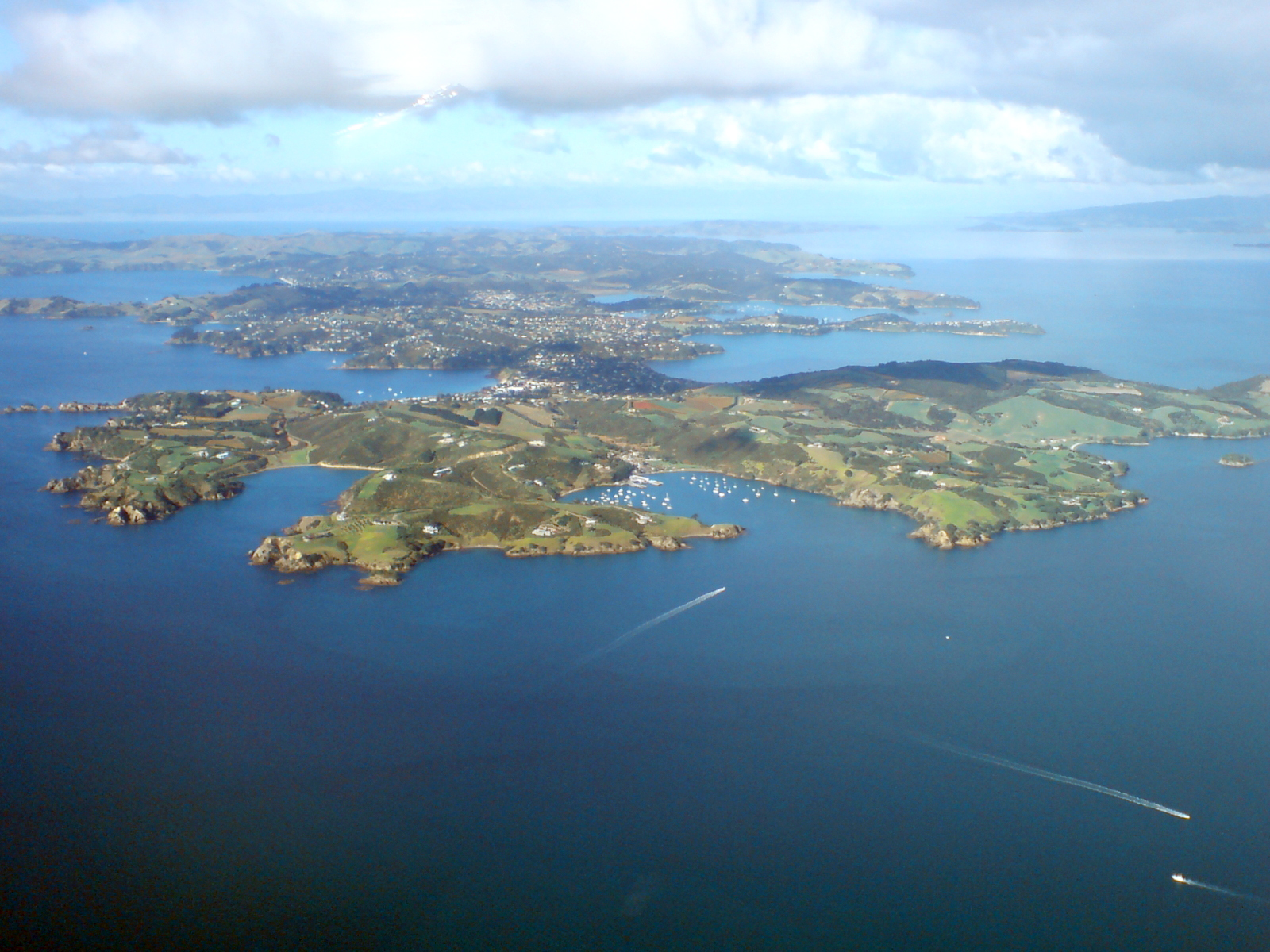
English:
Waiheke Island
, in the
Hauraki Gulf
of
New Zealand
, seen from a light airplane on the way to Great Barrier Island. Looking towards the east.
|
| Date | |
| Source | Self-photographed |
| Author | Ingolfson |
| Other versions | Derivative works of this file: Waiheke Island banner Aerial view from west.jpg |
| Camera location |
|
View this and other nearby images on: OpenStreetMap |
|
|---|
Licensing
|
|
I, the copyright holder of this work, release this work into the
public domain
. This applies worldwide.
In some countries this may not be legally possible; if so: I grant anyone the right to use this work for any purpose , without any conditions, unless such conditions are required by law. |