WA01_109.png
No higher resolution available.
Summary
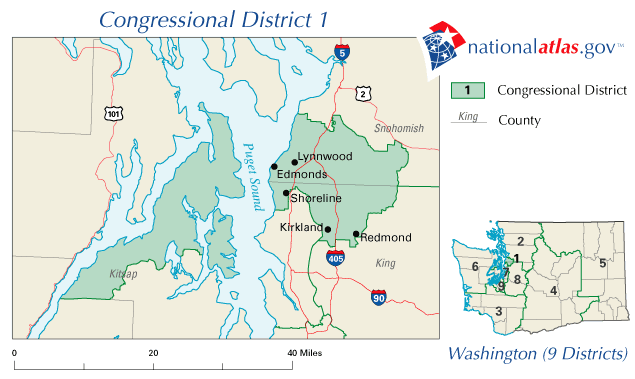
| Description | Map of the 1st Congressional District of Washington after the 2000 U.S. Census . |
| Date | |
| Source | http://www.nationalatlas.gov |
| Author | nationalatlas.gov, United States Department of the Interior |
|
Permission
( Reusing this file ) |
"Nearly all information collected by the Federal Government is in the public domain and use of raw data produced under this project is not restricted in any way." [1] |
Licensing
|
|
This map was obtained from an edition of the
National Atlas of the United States
. Like almost all works of the U.S. federal government, works from the
National Atlas
are in the
public domain
in the United States.
Online access: NationalAtlas.gov | 1970 print edition: Library of Congress , Perry-Castañeda Library
|
|