Vorderösterreich_1788.jpg
Size of this preview:
800 × 600 pixels
.
Other resolutions:
320 × 240 pixels
|
640 × 480 pixels
|
1,024 × 768 pixels
|
1,280 × 960 pixels
|
1,600 × 1,200 pixels
.
Summary
| Description |
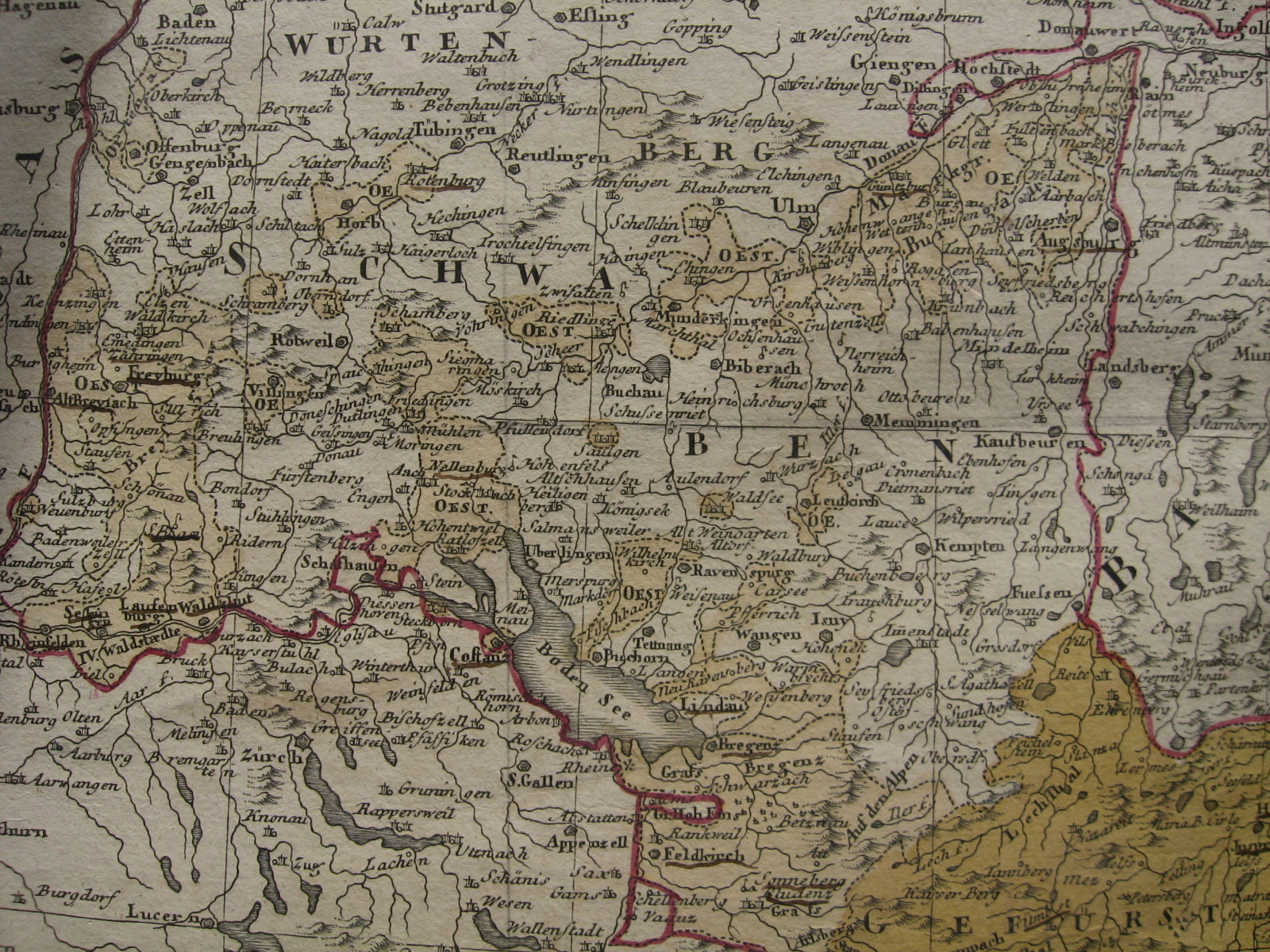
English:
Portion of a map of the Austrian Circle showing (in light ochre colour) the many territories of Further Austria (
Vorderösterreich
) spread throughout Swabia and Vorarlberg. Published by Homann Heirs in 1788.
|
| Date | |
| Source | Own map |
| Author | Homann Heirs (Homannischen Erben), 1788 |
Licensing
|
|
This work is in the public domain in its country of origin and other countries and areas where the copyright term is the author's life plus 100 years or fewer . |
| This file has been identified as being free of known restrictions under copyright law, including all related and neighboring rights. | |