VasilievskyIsland.png

Size of this preview:
800 × 491 pixels
.
Other resolutions:
320 × 196 pixels
|
640 × 393 pixels
|
1,024 × 628 pixels
|
1,280 × 786 pixels
|
2,532 × 1,554 pixels
.
| Description | |
| Date | |
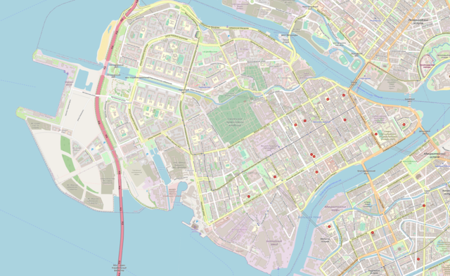
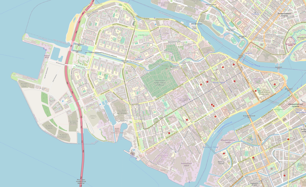
| Source | Map exported from OpenStreetMap (59.9629-59.9172 N, 30.1762-30.3149 E). |
| Author | OpenStreetMap & contributors |
|
Permission
( Reusing this file ) |
All OpenStreetMap data and maps are Creative Commons licensed:
This file is licensed under the
Creative Commons
Attribution-Share Alike 2.0 Generic
license.
|