Us-mexico-border.jpg

Size of this preview:
800 × 599 pixels
.
Other resolutions:
320 × 239 pixels
|
640 × 479 pixels
|
1,024 × 766 pixels
|
1,152 × 862 pixels
.
| Description |
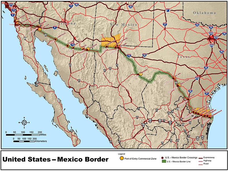
Summaryfrom http://www.fmcsa.dot.gov/print.asp?URL=/cross-border/nafta-rules/new-mexrule.htm |
||||||
| Date | Commons upload by Orgullomoore | ||||||
| Source |
Originally from en.wikipedia ; description page is (was) here
|
||||||
| Author | User Larsinio on en.wikipedia | ||||||
|
Permission
( Reusing this file ) |
|
||||||


|
This
map
image could be re-created
using
vector graphics
as an
SVG
file
. This has several advantages; see
Commons:Media for cleanup
for more information. If an SVG form of this image is available, please upload it and afterwards replace this template with
{{

vector version available

|

new image name

}}
.
It is recommended to name the SVG file “United States–Mexico border map.svg”—then the template Vector version available (or Vva ) does not need the new image name parameter. |

