University_Hospital_of_Wales,_Heath_Park_-_Cardiff_-_geograph.org.uk_-_1736088.jpg
Size of this preview:
800 × 526 pixels
.
Other resolutions:
320 × 210 pixels
|
640 × 421 pixels
|
1,024 × 673 pixels
|
1,200 × 789 pixels
.
Summary
| Description |
English:
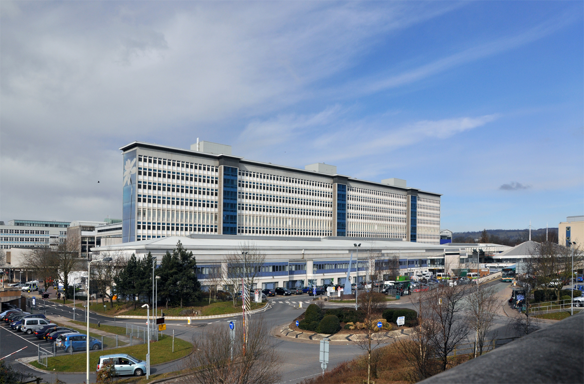
University Hospital of Wales, Heath Park - Cardiff Tower block on this huge hospital complex.
Français :
Centre hospitalier universitaire du Pays de Galles, Cardiff, Pays de Galles, Royaume-Uni
|
| Date | |
| Source | From geograph.org.uk |
| Author | Mick Lobb |
|
Attribution
( required by the license ) |
Mick Lobb / University Hospital of Wales, Heath Park - Cardiff / |
| Camera location |
|
View this and other nearby images on: OpenStreetMap |
|
|---|
_heading:315.00&language=en)
| Object location |
|
View this and other nearby images on: OpenStreetMap |
|
|---|
_heading:315.00&language=en)
Licensing

|
This image was taken from the
Geograph project
collection. See
this photograph's page
on the Geograph website for the photographer's contact details. The copyright on this image is owned by
Mick Lobb
and is licensed for reuse under the
Creative Commons
Attribution-ShareAlike 2.0 license.
|
This file is licensed under the
Creative Commons
Attribution-Share Alike 2.0 Generic
license.
Attribution:
Mick Lobb
-
You are free:
- to share – to copy, distribute and transmit the work
- to remix – to adapt the work
-
Under the following conditions:
- attribution – You must give appropriate credit, provide a link to the license, and indicate if changes were made. You may do so in any reasonable manner, but not in any way that suggests the licensor endorses you or your use.
- share alike – If you remix, transform, or build upon the material, you must distribute your contributions under the same or compatible license as the original.