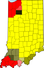
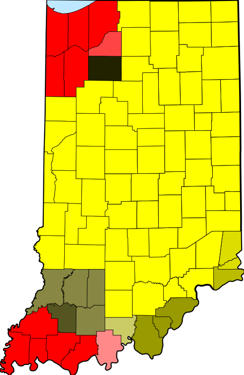
UTC_hue4map_USA-IN.svg

Size of this PNG preview of this SVG file:
391 × 599 pixels
.
Other resolutions:
156 × 240 pixels
|
313 × 480 pixels
|
501 × 768 pixels
|
668 × 1,024 pixels
|
1,337 × 2,048 pixels
|
2,887 × 4,423 pixels
.
| Description | tz database zones for the US state of Indiana |
| Date | (UTC) |
| Source | |
| Author |
|
|
|
This is a
retouched picture
, which means that it has been digitally altered from its original version. The original can be viewed here:
Map of Indiana highlighting Adams County.svg
:
|
I, the copyright holder of this work, hereby publish it under the following license:
|
|
I, the copyright holder of this work, release this work into the
public domain
. This applies worldwide.
In some countries this may not be legally possible; if so: I grant anyone the right to use this work for any purpose , without any conditions, unless such conditions are required by law. |
Original upload log
This image is a derivative work of the following images:
-
File:Map_of_Indiana_highlighting_Adams_County.svg
licensed with PD-self
- 2006-02-12T12:34:48Z David Benbennick 2887x4423 (56998 Bytes) {{subst:User:Dbenbenn/clm|county=Adams County|state=Indiana|type=county}}
Uploaded with derivativeFX