USACE_DeGray_Dam_and_Lake.jpg
Size of this preview:
567 × 600 pixels
.
Other resolutions:
227 × 240 pixels
|
454 × 480 pixels
|
726 × 768 pixels
|
968 × 1,024 pixels
|
1,500 × 1,586 pixels
.
| Description |
English:
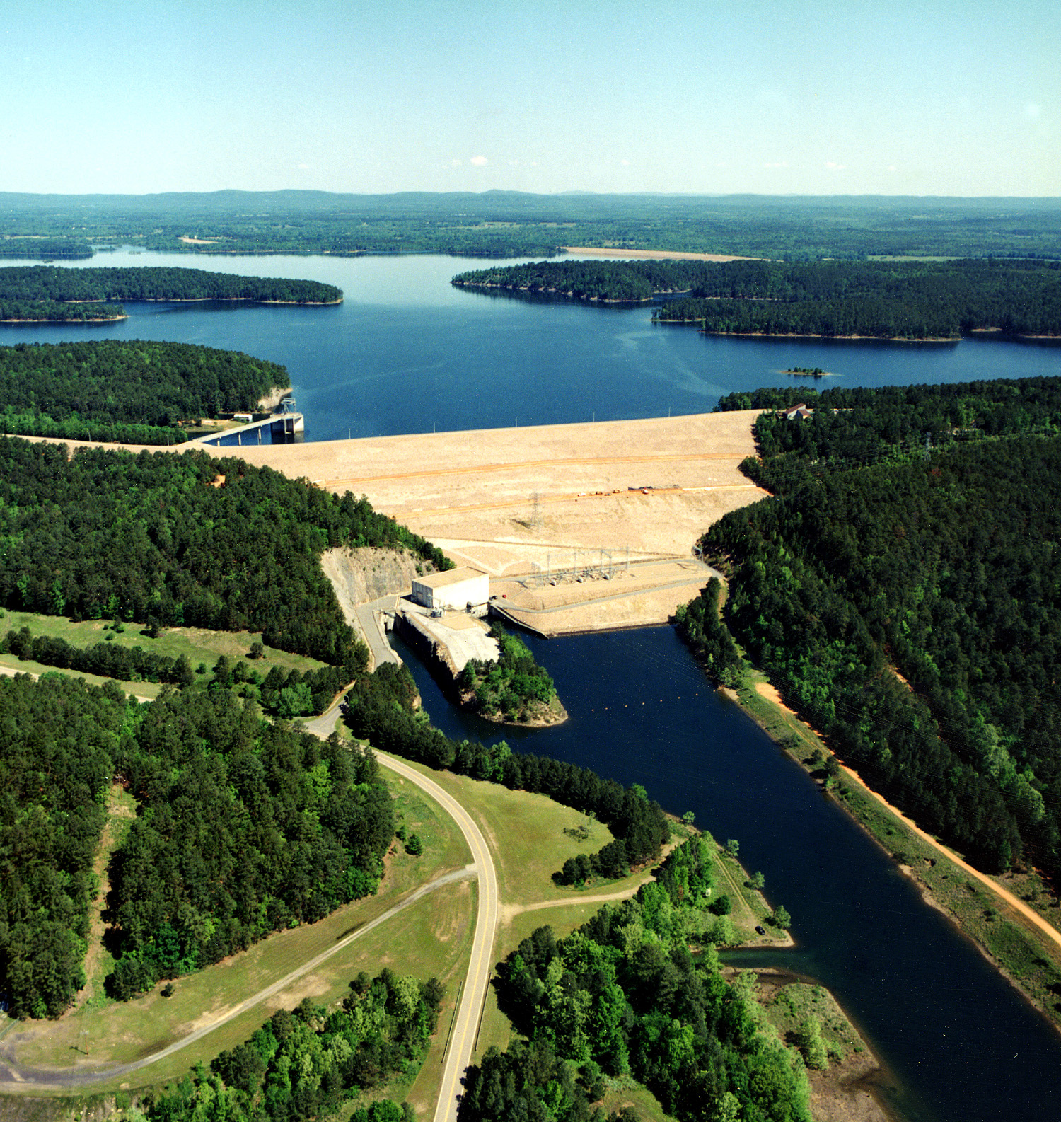
DeGray Dam and Lake on the Caddo River in
Hot Spring County, Arkansas
.
|
|||
| Date | not specified or unknown | |||
| Source |
U.S. Army Corps of Engineers Digital Visual Library
Image page Image description page Digital Visual Library home page |
|||
| Author | Alfred Dulaney, U.S. Army Corps of Engineers | |||
|
Permission
( Reusing this file ) |
|
| Camera location |
|
View this and other nearby images on: OpenStreetMap |
|
|---|
[[Category:Hot Spring County, Arkansas|DeGray]