Terrells_Heath_-_Hangmans_Wood_Grays_-_geograph.org.uk_-_39610.jpg
No higher resolution available.
Summary
| Description |
English:
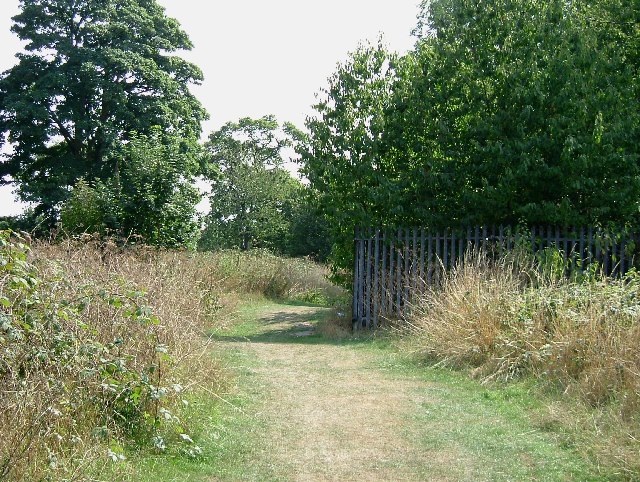
Terrells Heath / Hangmans Wood Grays. The galvanized fence protects the public from falling into a Denehole. There is great debate as to what a Denehole is. It has not been conclusively proved if they are natural or man made. The name derives from Dane Hole a place where people hid during Viking raids although there is little proof they were used for this reason.
|
| Date | |
| Source | From geograph.org.uk |
| Author | Glyn Baker |
|
Attribution
( required by the license ) |
Glyn Baker / Terrells Heath / Hangmans Wood Grays / |
| Object location |
|
View this and other nearby images on: OpenStreetMap |
|
|---|
_&language=en)
Licensing

|
This image was taken from the
Geograph project
collection. See
this photograph's page
on the Geograph website for the photographer's contact details. The copyright on this image is owned by
Glyn Baker
and is licensed for reuse under the
Creative Commons
Attribution-ShareAlike 2.0 license.
|
This file is licensed under the
Creative Commons
Attribution-Share Alike 2.0 Generic
license.
Attribution:
Glyn Baker
-
You are free:
- to share – to copy, distribute and transmit the work
- to remix – to adapt the work
-
Under the following conditions:
- attribution – You must give appropriate credit, provide a link to the license, and indicate if changes were made. You may do so in any reasonable manner, but not in any way that suggests the licensor endorses you or your use.
- share alike – If you remix, transform, or build upon the material, you must distribute your contributions under the same or compatible license as the original.