Tangier_Ibn_Battouta_Airport_map.png

Size of this preview:
800 × 481 pixels
.
Other resolutions:
320 × 192 pixels
|
640 × 385 pixels
|
1,155 × 694 pixels
.
| Description |
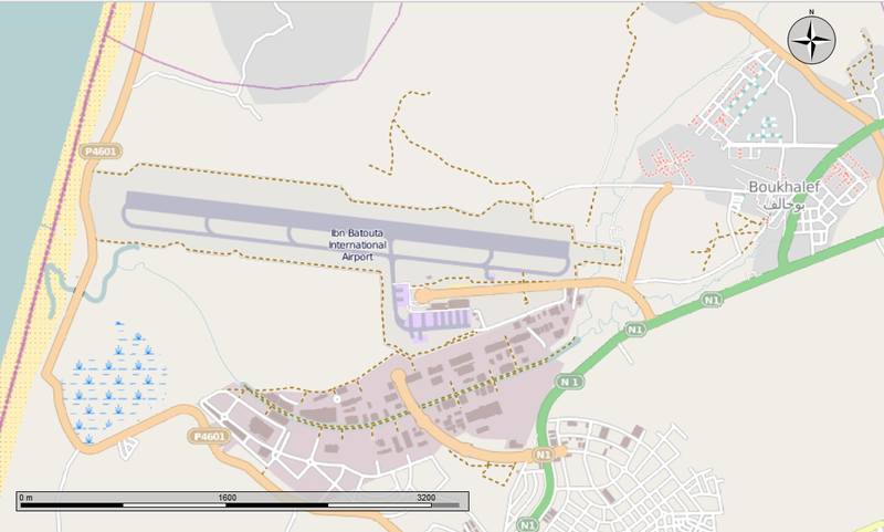
English:
Map of the Ibn Battouta Airport and the town of Boukhalef.
|
|||||
| Date | ||||||
| Source | Open Street Map from the Marble program | |||||
| Author | Own work | |||||
|
Permission
( Reusing this file ) |
I, the copyright holder of this work, hereby publish it under the following license:
This file is licensed under the
Creative Commons
Attribution-Share Alike 4.0 International
license.
|
