Tampa_Intl_Oct2022.jpg
Size of this preview:
800 × 600 pixels
.
Other resolutions:
320 × 240 pixels
|
640 × 480 pixels
|
1,024 × 768 pixels
|
1,280 × 960 pixels
|
2,560 × 1,920 pixels
|
4,032 × 3,024 pixels
.
Summary
| Description |
English:
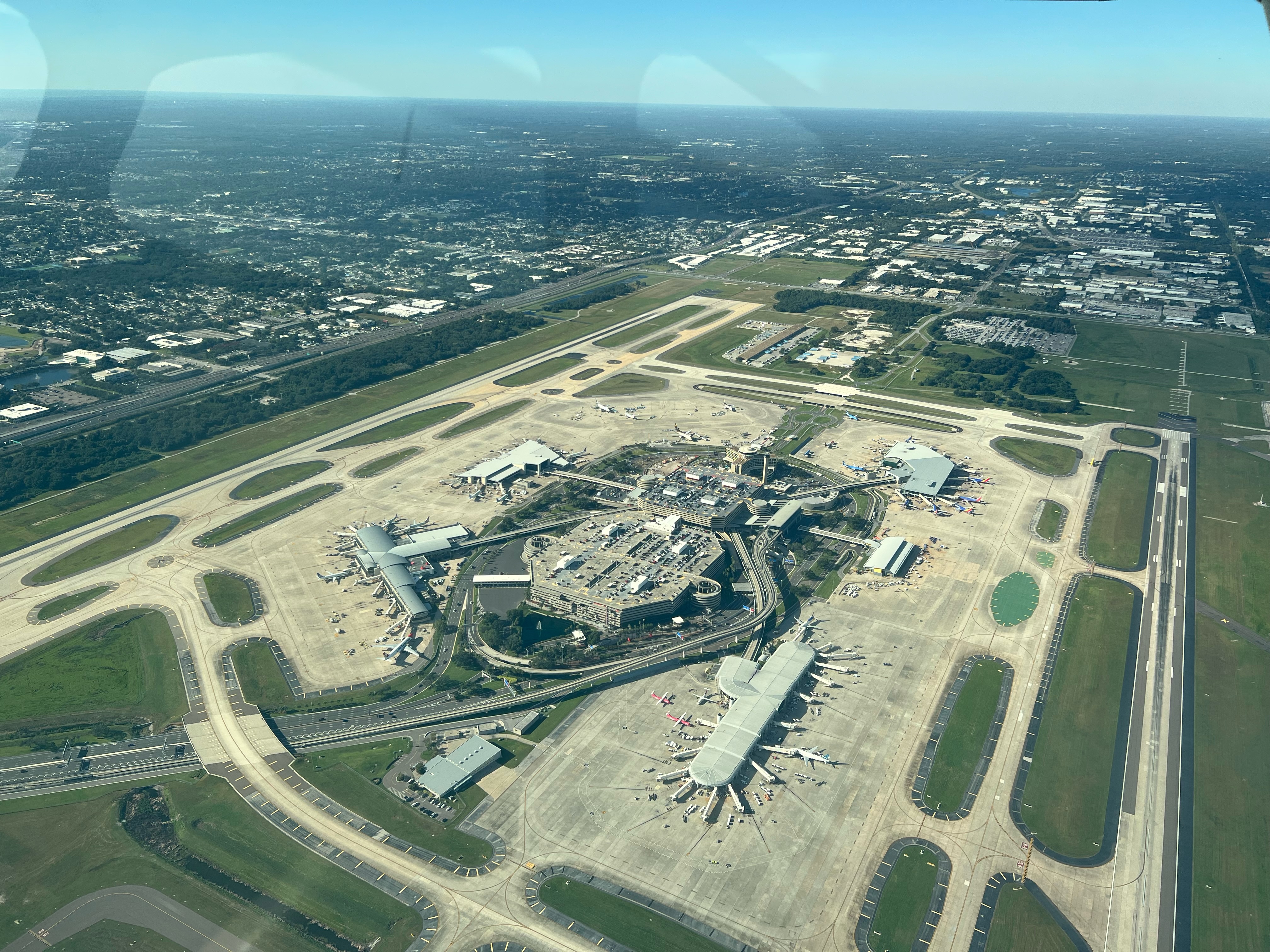
Photo taken from approximately 2100 feet over RWY 10/28 while on the bridge transition to the east. This photo is taken from the southeast corner of the airfield and looks northwest. Airside A (bottom right), Airside C (top right), Airside E (top left) and Airside F (bottom left) area all pictured here, as well as the airport's central terminal and parking facilities. General aviation and cargo terminals are not shown.
|
| Date | |
| Source | Own work |
| Author | Austin Dunbar |
| Camera location |
|
View this and other nearby images on: OpenStreetMap |
|
|---|
Licensing
I, the copyright holder of this work, hereby publish it under the following license:
This file is licensed under the
Creative Commons
Attribution-Share Alike 4.0 International
license.
-
You are free:
- to share – to copy, distribute and transmit the work
- to remix – to adapt the work
-
Under the following conditions:
- attribution – You must give appropriate credit, provide a link to the license, and indicate if changes were made. You may do so in any reasonable manner, but not in any way that suggests the licensor endorses you or your use.
- share alike – If you remix, transform, or build upon the material, you must distribute your contributions under the same or compatible license as the original.