Sweden_Blekinge_location_map.svg

Size of this PNG preview of this SVG file:
800 × 398 pixels
.
Other resolutions:
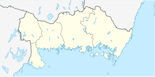
320 × 159 pixels
|
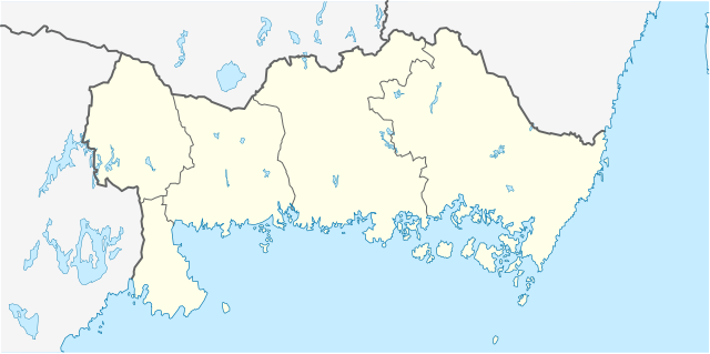
640 × 319 pixels
|
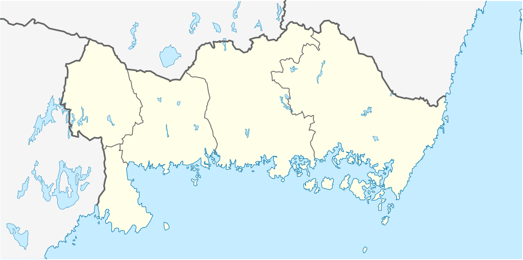
1,024 × 510 pixels
|
1,280 × 637 pixels
|
2,560 × 1,275 pixels
|
1,000 × 498 pixels
.
Summary
| Description |
English:
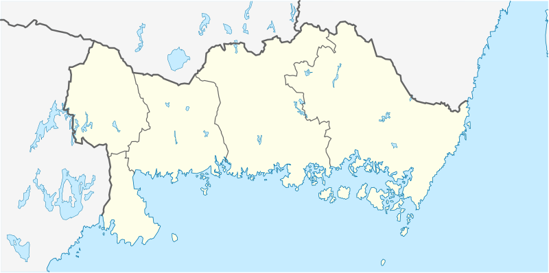
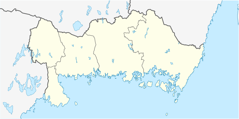
Location map of Blekinge County in Sweden
Equirectangular projection, N/S stretching 182 %. Geographic limits of the map:
Deutsch:
Positionskarte von Blekinge län in Schweden
Quadratische Plattkarte, N-S-Streckung 182 %. Geographische Begrenzung der Karte:
|
| Date | |
| Source | Own work |
| Author | Erik Frohne |
Licensing
I, the copyright holder of this work, hereby publish it under the following licenses:

|
Permission is granted to copy, distribute and/or modify this document under the terms of the GNU Free Documentation License , Version 1.2 or any later version published by the Free Software Foundation ; with no Invariant Sections, no Front-Cover Texts, and no Back-Cover Texts. A copy of the license is included in the section entitled GNU Free Documentation License . |
This file is licensed under the
Creative Commons
Attribution 3.0 Unported
license.
-
You are free:
- to share – to copy, distribute and transmit the work
- to remix – to adapt the work
-
Under the following conditions:
- attribution – You must give appropriate credit, provide a link to the license, and indicate if changes were made. You may do so in any reasonable manner, but not in any way that suggests the licensor endorses you or your use.
You may select the license of your choice.