Sverdlovskaya-pozkarta.png

Size of this preview:
514 × 599 pixels
.
Other resolutions:
206 × 240 pixels
|
412 × 480 pixels
|
659 × 768 pixels
|
878 × 1,024 pixels
|
1,757 × 2,048 pixels
|
3,675 × 4,284 pixels
.
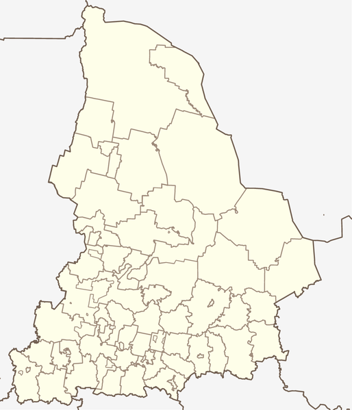
Map of Sverdlovsk Oblast, Russia, in the Mercator projection. Cropped by 1 degree lines (57° - 67° E, 56° - 62° N). Less or more suitable for PosMap.
According to the author (see Discussion:Koryakov Yuri ) made on the basis of that map ( Open Budget Regions of Russia project ) and maps from CD "Все карты России. Ингит" (CD "Аll maps of Russia", Ingit, LLC )
Summary
| Description | Map of Sverdlovskaya oblast (Russia), in the Mercator projection. |
| Date | |
| Source | self-made (based on the maps by Ingit, LLC and Open Budget Regions of Russia project) |
| Author | Koryakov Yuri |
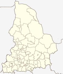
| Other versions | Derivative works of this file: Sverdlovskaya-Artinsky-pozkarta.png |
Licensing
|
|
I, the copyright holder of this work, release this work into the
public domain
. This applies worldwide.
In some countries this may not be legally possible; if so: I grant anyone the right to use this work for any purpose , without any conditions, unless such conditions are required by law. |