Sumatra-Enggano.jpg
Size of this preview:
554 × 600 pixels
.
Other resolutions:
222 × 240 pixels
|
443 × 480 pixels
|
918 × 994 pixels
.
Summary
| Description |
Deutsch:
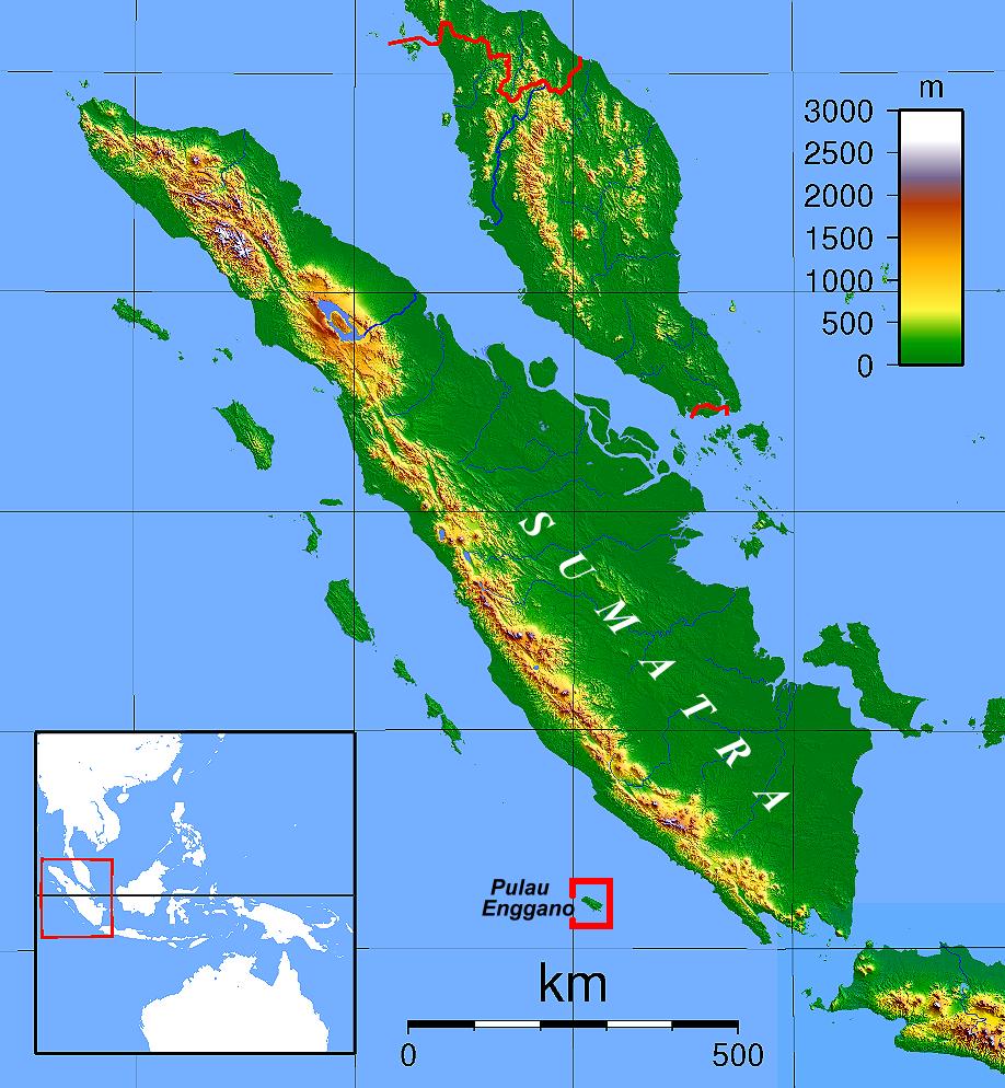
Lage der Insel Enggano
|
| Date | 5 August 2008 (original upload date) |
| Source | Image:Sumatra Topography.png , changes and additions by Geoethno |
| Author | Sadalmelik , Geoethno |
Licensing
This file is licensed under the
Creative Commons
Attribution-Share Alike 1.0 Generic
license.
-
You are free:
- to share – to copy, distribute and transmit the work
- to remix – to adapt the work
-
Under the following conditions:
- attribution – You must give appropriate credit, provide a link to the license, and indicate if changes were made. You may do so in any reasonable manner, but not in any way that suggests the licensor endorses you or your use.
- share alike – If you alter, transform, or build upon this work, you must distribute the resulting work under the same license as the original.
Original upload log
The original description page was
here
. All following user names refer to de.wikipedia.
- 2008-08-05 01:34 Geoethno 918×994× (161109 bytes) {{Information |Beschreibung = Lage der Insel Enggano |Quelle = Sadalmelik, ergänzt von Geoethno |Urheber = |Datum = 2007, 2008 |Genehmigung = {{Bild-CC-by-sa/1.0}} |Andere Versionen = |Anmerkungen = }}