Street_and_Dwellings,_Ostia_Antica_(7966414348).jpg

Size of this preview:
800 × 450 pixels
.
Other resolutions:
320 × 180 pixels
|
640 × 360 pixels
|
1,024 × 576 pixels
|
1,280 × 720 pixels
|
2,048 × 1,152 pixels
.
Summary
| Description |
English:
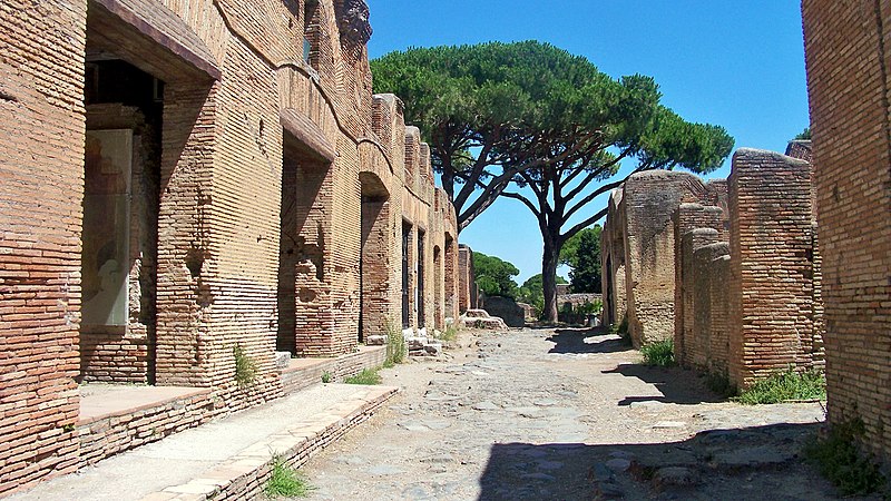
Ostia Antica, Via di Diana between Caseggiato di Diana (I,III,3-4) (left) and Piazza dei Lari (right). August, 2011
|
| Date | |
| Source | Street and Dwellings, Ostia Antica |
| Author | Larry from Charlottetown, PEI, Canada |
| Camera location |
|
View this and other nearby images on: OpenStreetMap |
|
|---|
.jpg¶ms=041.754760_N_0012.288690_E_globe:Earth_type:camera_heading:67.50&language=en)
Licensing
This file is licensed under the
Creative Commons
Attribution 2.0 Generic
license.
-
You are free:
- to share – to copy, distribute and transmit the work
- to remix – to adapt the work
-
Under the following conditions:
- attribution – You must give appropriate credit, provide a link to the license, and indicate if changes were made. You may do so in any reasonable manner, but not in any way that suggests the licensor endorses you or your use.
|
|
This image was originally posted to Flickr by microbe at https://flickr.com/photos/14824807@N00/7966414348 ( archive ). It was reviewed on 10 November 2018 by FlickreviewR 2 and was confirmed to be licensed under the terms of the cc-by-2.0. |