Stratton_railway_station_(site),_Swindon_(geograph_5722930).jpg
Size of this preview:
800 × 600 pixels
.
Other resolutions:
320 × 240 pixels
|
640 × 480 pixels
|
1,024 × 768 pixels
|
1,280 × 960 pixels
|
1,600 × 1,200 pixels
.
Summary
| Description |
English:
Stratton railway station (site), Swindon
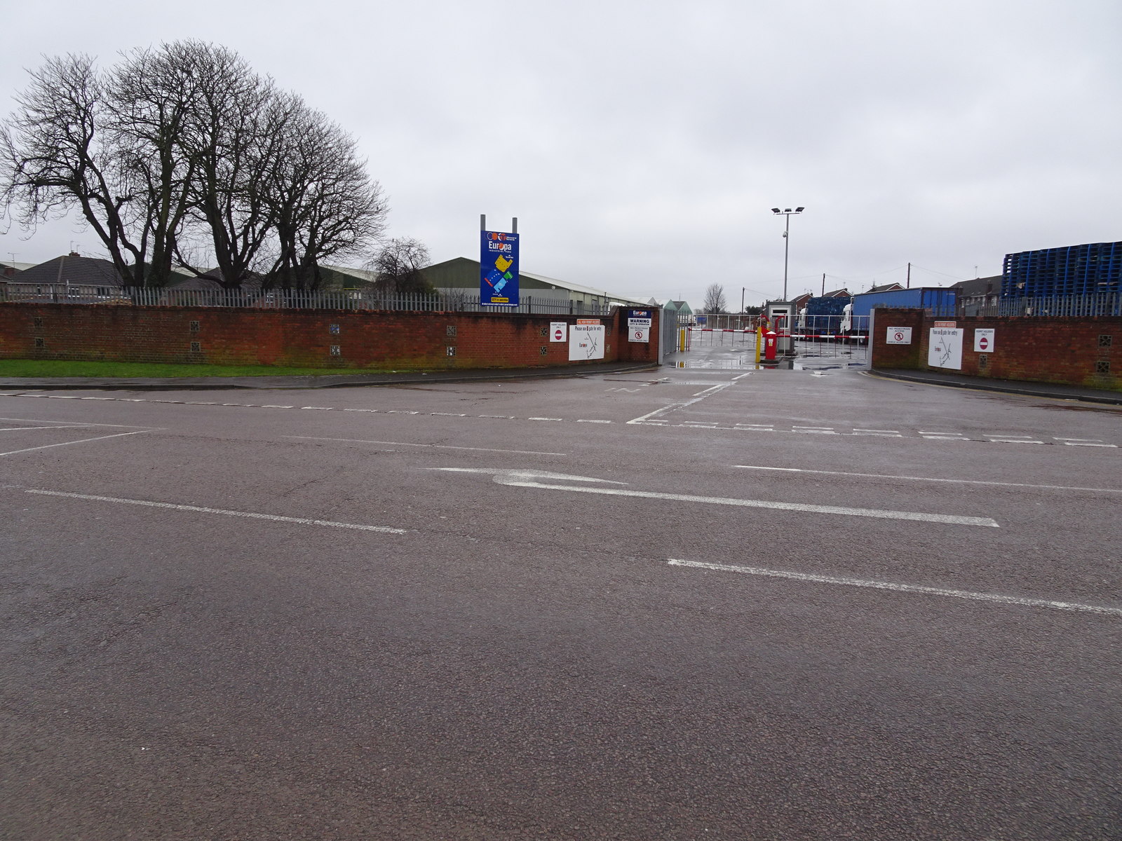
Opened in 1883 by the Great Western Railway on the branch line from Swindon to Highworth, this station closed to passengers in 1953 and completely in 1962. View south west towards Swindon from what had been the Ermin Street bridge over the railway, the line and single platform having been just to the left of the blue sign. No trace of the station remains, the station site and bridge having been levelled. |
| Date | |
| Source | From geograph.org.uk |
| Author | Nigel Thompson |
|
Permission
( Reusing this file ) |
Creative Commons Attribution Share-alike license 2.0 |
|
Attribution
( required by the license ) |
Nigel Thompson / Stratton railway station (site), Swindon / |
| Camera location |
|
View this and other nearby images on: OpenStreetMap |
|
|---|
,_Swindon_(geograph_5722930).jpg¶ms=051.588079_N_-001.755151_E_globe:Earth_type:camera_source:geograph-osgb36(SU17068772)_heading:225.00&language=en)
| Object location |
|
View this and other nearby images on: OpenStreetMap |
|
|---|
,_Swindon_(geograph_5722930).jpg¶ms=051.587720_N_-001.755440_E_globe:Earth_class:object_type:object_source:geograph-osgb36(SU17048768)_heading:225.00&language=en)
Licensing

|
This image was taken from the
Geograph project
collection. See
this photograph's page
on the Geograph website for the photographer's contact details. The copyright on this image is owned by
Nigel Thompson
and is licensed for reuse under the
Creative Commons
Attribution-ShareAlike 2.0 license.
|
This file is licensed under the
Creative Commons
Attribution-Share Alike 2.0 Generic
license.
Attribution:
Nigel Thompson
-
You are free:
- to share – to copy, distribute and transmit the work
- to remix – to adapt the work
-
Under the following conditions:
- attribution – You must give appropriate credit, provide a link to the license, and indicate if changes were made. You may do so in any reasonable manner, but not in any way that suggests the licensor endorses you or your use.
- share alike – If you remix, transform, or build upon the material, you must distribute your contributions under the same or compatible license as the original.