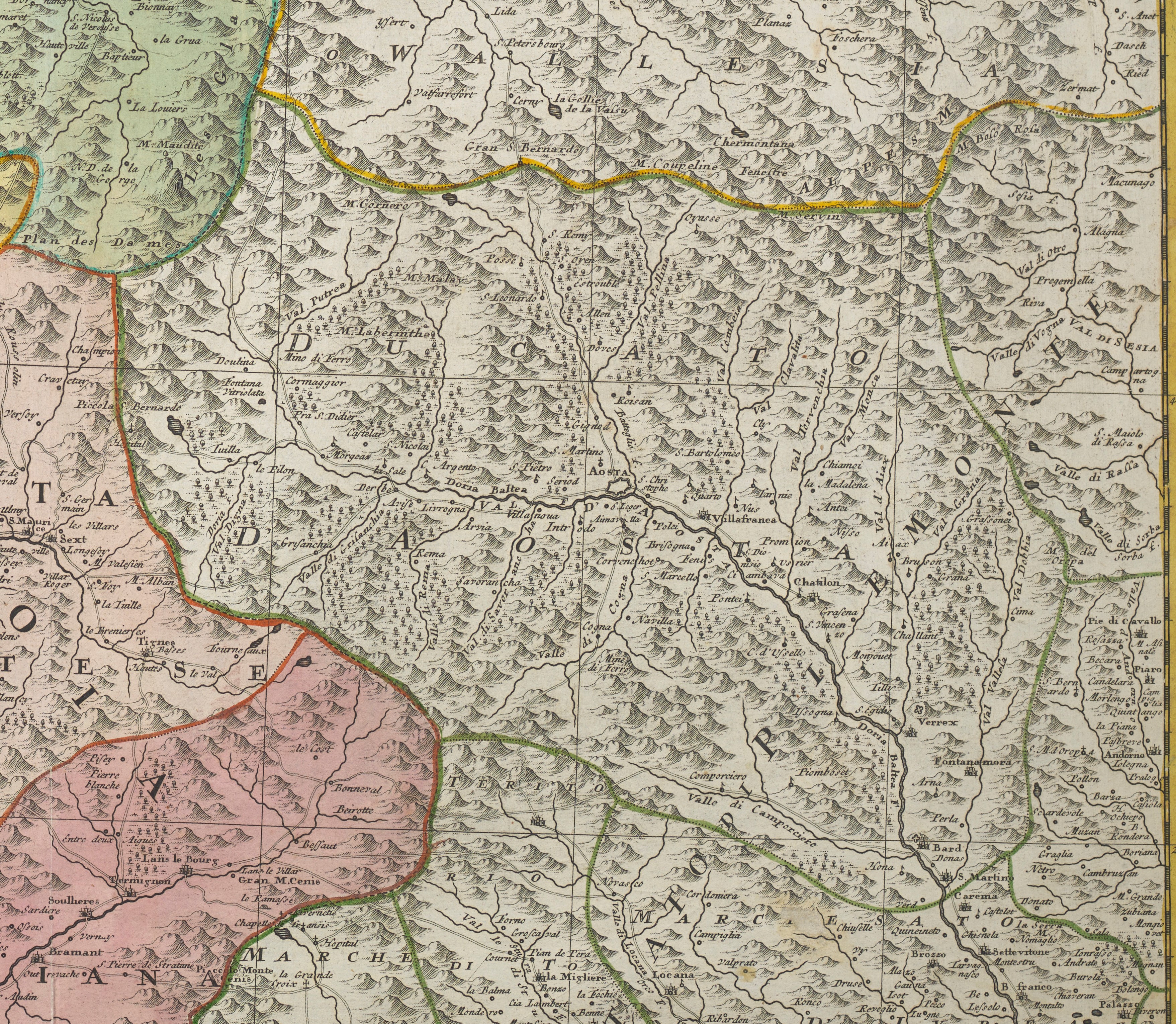
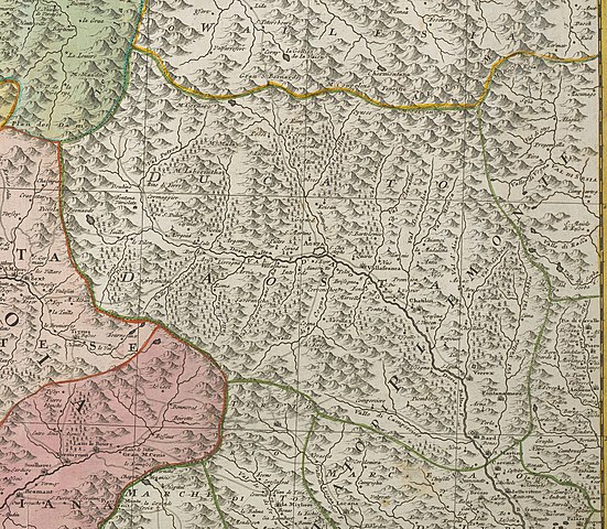
Statuum_Italiae_Superioris_vulgo_olim_Lombardia_dictorum_geographica_Delineatio_(cropped,_Duchy_D'Aosta).jpg
Size of this preview:
689 × 600 pixels
.
Other resolutions:
276 × 240 pixels
|
551 × 480 pixels
|
882 × 768 pixels
|
1,176 × 1,024 pixels
|
2,353 × 2,048 pixels
|
3,515 × 3,060 pixels
.
Summary
| Description |
Deutsch:
1 Kt. : Grenzen und Flächen kolor. (57 x 48 cm); Koordinaten E 5°36'00"-E 7°54'00"/N 46°28'00"-N 45°02'00"; Ohne Maßstab. - Titelkartusche oben rechts. - Parallelt. oberhalb des Kt.-Bildes. - Relief: angedeutet
|
| Date | |
| Source | Leibniz-Institut für Länderkunde, Leipzig |
| Author | Mayer, Tobias |
Licensing
|
|
This file is made available under the Creative Commons CC0 1.0 Universal Public Domain Dedication . |
|
The person who associated a work with this deed has dedicated the work to the
public domain
by waiving all of their rights to the work worldwide under copyright law, including all related and neighboring rights, to the extent allowed by law. You can copy, modify, distribute and perform the work, even for commercial purposes, all without asking permission.
|