St_Columb_Road_-_geograph.org.uk_-_224560.jpg
No higher resolution available.
Summary
| Description |
English:
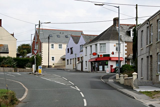
St Columb Road. This photograph shows the road junction which might be regarded as the centre of the village of St Columb Road. The village takes it name from the female virgin Saint St Columba . The village was originally known as 'St Columba's Highway' a reference to the belief she passed through the area on her way to her martyrdom at the nearby hamlet of Ruthvoes
|
| Date | |
| Source | From geograph.org.uk |
| Author | Tony Atkin |
|
Permission
( Reusing this file ) |
Creative Commons Attribution Share-alike license 2.0 |
|
Attribution
( required by the license ) |
Tony Atkin / St Columb Road / |
| Object location |
|
View this and other nearby images on: OpenStreetMap |
|
|---|
_heading:112.00&language=en)
Licensing

|
This image was taken from the
Geograph project
collection. See
this photograph's page
on the Geograph website for the photographer's contact details. The copyright on this image is owned by
Tony Atkin
and is licensed for reuse under the
Creative Commons
Attribution-ShareAlike 2.0 license.
|
This file is licensed under the
Creative Commons
Attribution-Share Alike 2.0 Generic
license.
Attribution:
Tony Atkin
-
You are free:
- to share – to copy, distribute and transmit the work
- to remix – to adapt the work
-
Under the following conditions:
- attribution – You must give appropriate credit, provide a link to the license, and indicate if changes were made. You may do so in any reasonable manner, but not in any way that suggests the licensor endorses you or your use.
- share alike – If you remix, transform, or build upon the material, you must distribute your contributions under the same or compatible license as the original.