St._Oran's_Chapel_-_geograph.org.uk_-_742960.jpg

Size of this preview:
757 × 600 pixels
.
Other resolutions:
303 × 240 pixels
|
606 × 480 pixels
|
970 × 768 pixels
|
1,280 × 1,014 pixels
|
1,651 × 1,308 pixels
.
|
This is a photo of
listed building
number
12314
.
|
Summary
| Description |
English:
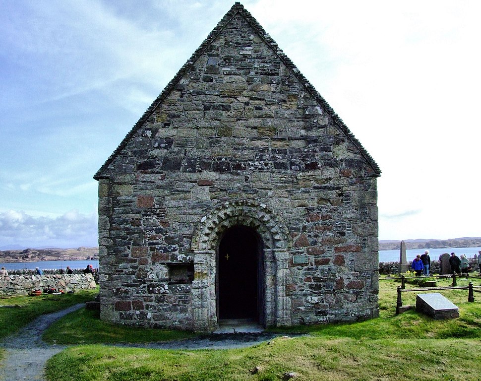
St. Oran's Chapel Built in the twelfth century,this is the oldest of Ionas surviving Ecclesiastical buildings. It was used as a chapel and the burial place of the Macdonald family,Lords Of The Isles. The Rt. Hon. John Smith QC MP is also buried in this churchyard. He died in 1994 shortly before the General Election when it was thought that he would be the 1st Labour Prime Minister for many years.
|
| Date | |
| Source | From geograph.org.uk |
| Author | Keith Laverack |
|
Attribution
( required by the license ) |
Keith Laverack / St. Oran's Chapel / |
| Camera location |
|
View this and other nearby images on: OpenStreetMap |
|
|---|
_heading:112.00&language=en)
| Object location |
|
View this and other nearby images on: OpenStreetMap |
|
|---|
_heading:112.00&language=en)
Licensing

|
This image was taken from the
Geograph project
collection. See
this photograph's page
on the Geograph website for the photographer's contact details. The copyright on this image is owned by
Keith Laverack
and is licensed for reuse under the
Creative Commons
Attribution-ShareAlike 2.0 license.
|
This file is licensed under the
Creative Commons
Attribution-Share Alike 2.0 Generic
license.
Attribution:
Keith Laverack
-
You are free:
- to share – to copy, distribute and transmit the work
- to remix – to adapt the work
-
Under the following conditions:
- attribution – You must give appropriate credit, provide a link to the license, and indicate if changes were made. You may do so in any reasonable manner, but not in any way that suggests the licensor endorses you or your use.
- share alike – If you remix, transform, or build upon the material, you must distribute your contributions under the same or compatible license as the original.