Spioenkop01.jpg

Size of this preview:
800 × 600 pixels
.
Other resolutions:
320 × 240 pixels
|
640 × 480 pixels
|
1,024 × 768 pixels
|
1,280 × 960 pixels
|
2,048 × 1,536 pixels
.
Summary
| Camera location |
|
View this and other nearby images on: OpenStreetMap |
|
|---|
| Description |
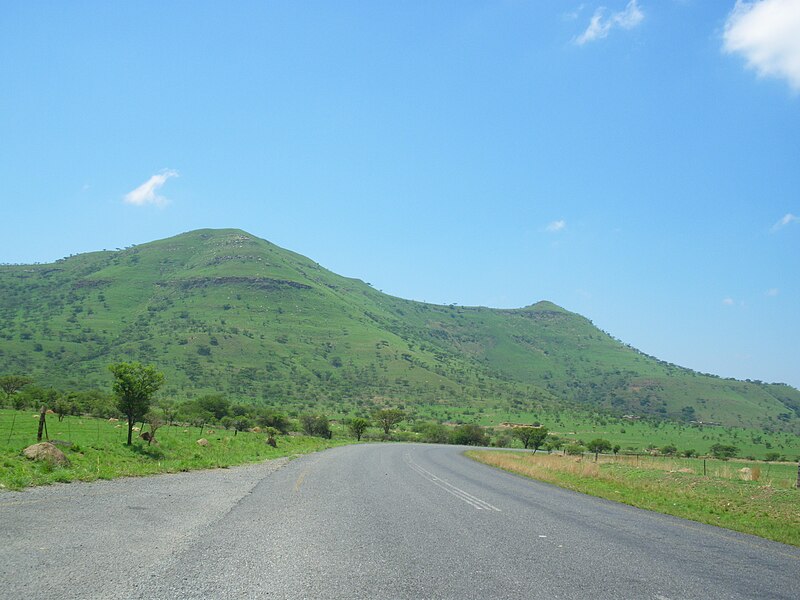
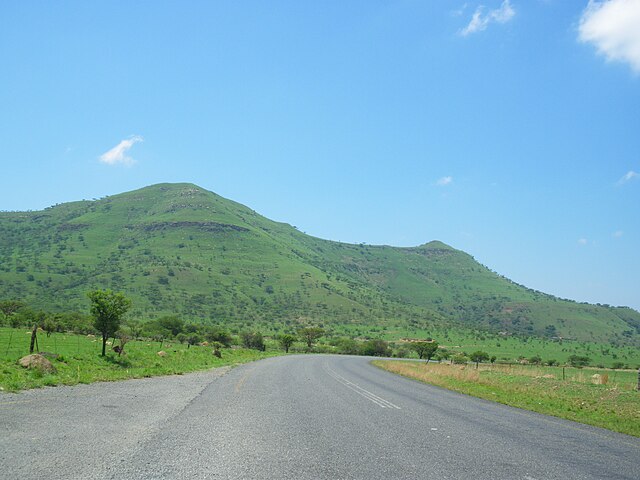
Afrikaans:
'n Suidaansig van Spioenkop in Kwazulu-Natal, waar die
Slag van Spioenkop
plaasgevind het
Français :
Le site de la
fr:bataille de Spioenkop
de nos jours, au Kwazulu-Natal en Afrique du Sud - vue du sud (Road 600)
English:
Spioenkop nowadays, Kwazulu-Natal, South Africa - seen from south (Road 600)
|
| Date | |
| Source | Own work |
| Author | Vberger |
Licensing
|
|
I, the copyright holder of this work, release this work into the
public domain
. This applies worldwide.
In some countries this may not be legally possible; if so: I grant anyone the right to use this work for any purpose , without any conditions, unless such conditions are required by law. |