Southern_Dankalia,_Eritrea_-_panoramio_(1).jpg

Size of this preview:
800 × 600 pixels
.
Other resolutions:
320 × 240 pixels
|
640 × 480 pixels
|
1,024 × 768 pixels
|
1,280 × 960 pixels
|
2,592 × 1,944 pixels
.
Summary
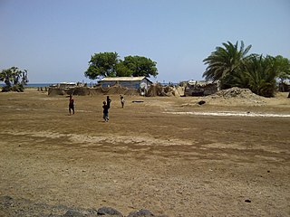
| Description | Southern Dankalia, Eritrea | ||
| Date | Taken on 15 May 2012 | ||
| Source | https://web.archive.org/web/20161024173544/http://www.panoramio.com/photo/72269263 | ||
| Author | vxr7475 | ||
|
Permission
( Reusing this file ) |
This file is licensed under the
Creative Commons
Attribution 3.0 Unported
license.
Attribution:
vxr7475
|
||
|
Tags
(from Panoramio photo page) |
Southern Dankalia
|
| Camera location |
|
View this and other nearby images on: OpenStreetMap |
|
|---|
.jpg¶ms=013.048683_N_0042.700783_E_globe:Earth_type:camera_source:Panoramio_&language=en)