SkylineHollanddaleMN.jpg
Size of this preview:
800 × 439 pixels
.
Other resolutions:
320 × 176 pixels
|
640 × 351 pixels
|
1,024 × 562 pixels
|
1,280 × 703 pixels
|
2,560 × 1,406 pixels
|
4,934 × 2,709 pixels
.
Summary
| Description |
English:
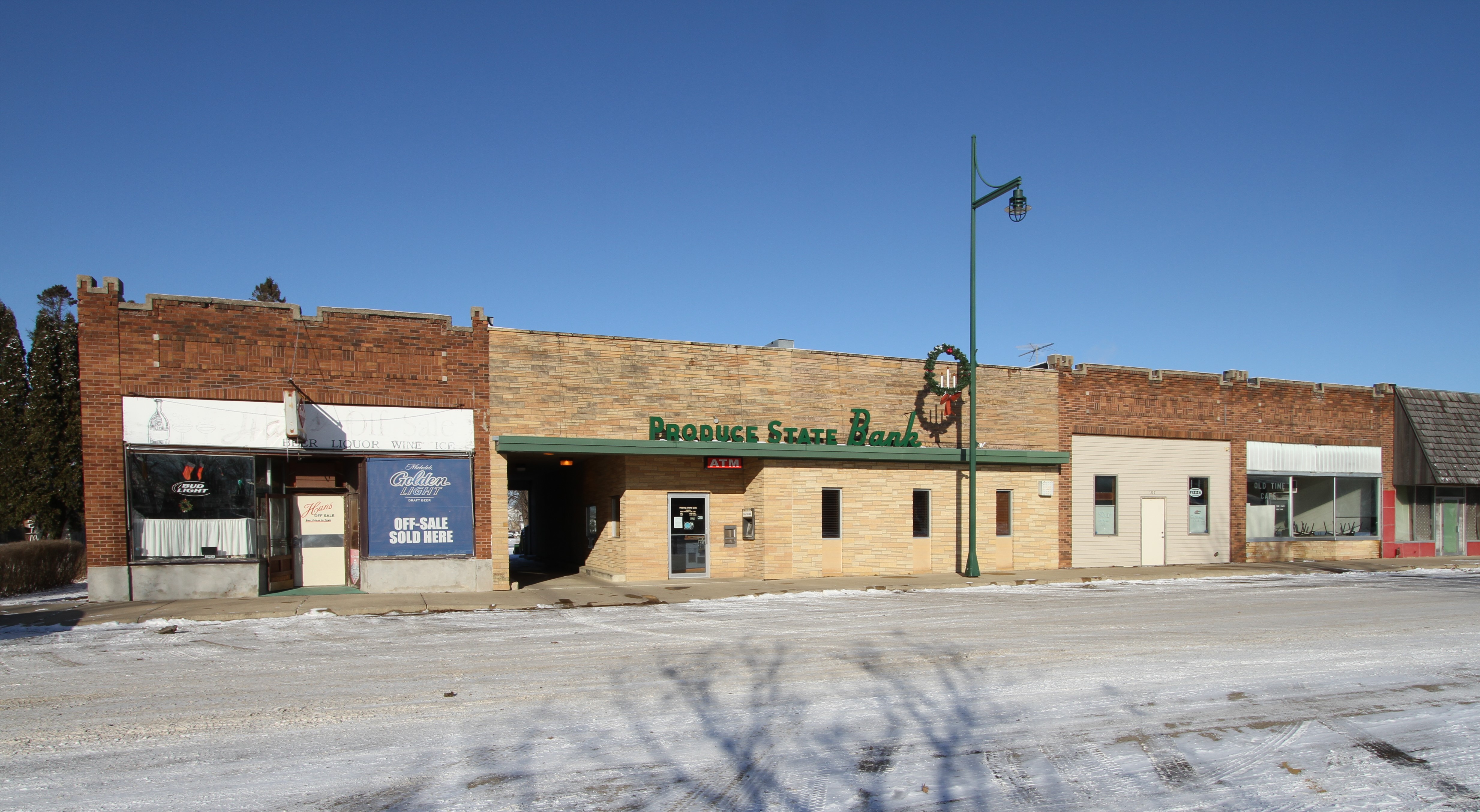
Buildings of the central commercial area seen from the southwest on Minnesota State Highway 251 in Hollandale, Freeborn County, Minnesota, United States
|
||
| Date | |||
| Source | Own work | ||
| Author | Jonathunder | ||
|
Permission
( Reusing this file ) |
|
| Camera location |
|
View this and other nearby images on: OpenStreetMap |
|
|---|
Licensing

|
Permission is granted to copy, distribute and/or modify this document under the terms of the GNU Free Documentation License , Version 1.2 only as published by the Free Software Foundation ; with no Invariant Sections, no Front-Cover Texts, and no Back-Cover Texts. A copy of the license is included in the section entitled GNU Free Documentation License . | 1.2 only |