Serbia_and_Montenegro.svg

Size of this PNG preview of this SVG file:
450 × 456 pixels
.
Other resolutions:
237 × 240 pixels
|
474 × 480 pixels
|
758 × 768 pixels
|
1,011 × 1,024 pixels
|
2,021 × 2,048 pixels
.
| Description |
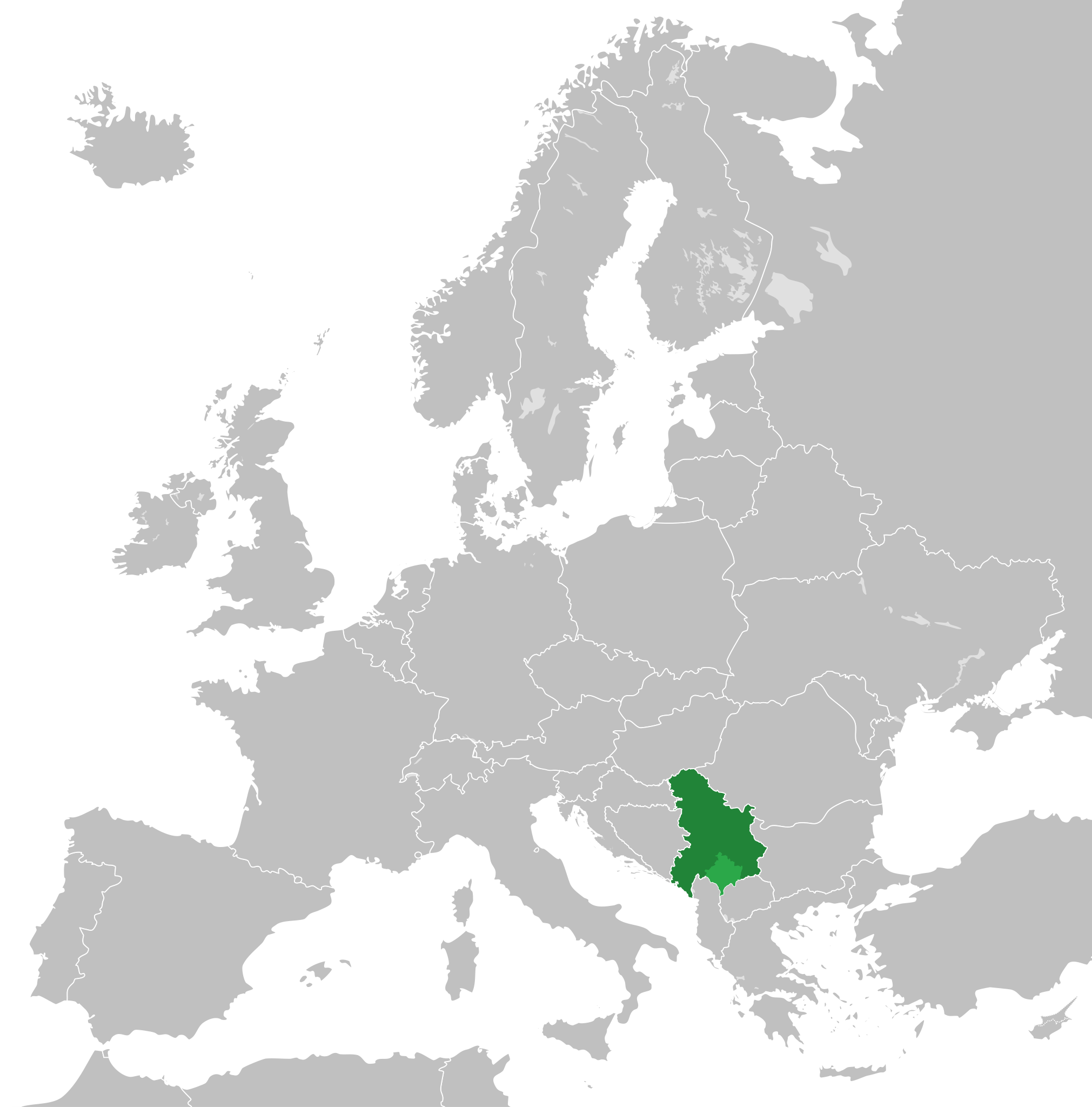
English:
Map of the Federal Republic of Yugoslavia (1992-2003) and the State Union of Serbia and Montenegro (2003-2006).
Note:
Following the adoption of
Resolution 1244
on 10 June 1999,
Kosovo
was placed under a
UN Interim Administration
–
de facto
separating it from the rest of Yugoslavia.
|
| Date | |
| Source | Own work, based upon File:Blank map of Europe.svg |
| Author |
This
W3C-unspecified
vector image
was created with
Inkscape
.
|
|
Permission
( Reusing this file ) |
This file is licensed under the
Creative Commons
Attribution-Share Alike 3.0 Unported
license.
|