Scott_Base,_Antarctica,_Jan_2006.jpg
Size of this preview:
800 × 458 pixels
.
Other resolutions:
320 × 183 pixels
|
640 × 366 pixels
|
1,024 × 586 pixels
|
1,280 × 733 pixels
|
1,878 × 1,075 pixels
.
Summary
| Description |
English:
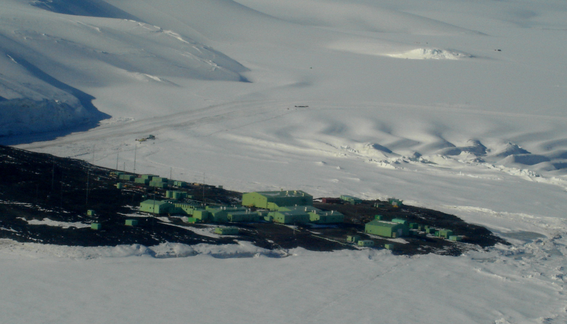
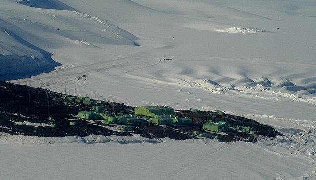
Aerial photograph of
Scott Base
, Ross Island, Antarctica, Jan 2006. Photograph by Andrew Mandemaker.
|
| Date | 19 April 2006 (original upload date) |
| Source | Transferred from en.wikipedia to Commons. |
| Author | Snowwayout at English Wikipedia |
| Camera location |
|
View this and other nearby images on: OpenStreetMap |
|
|---|
Licensing
|
|
This work has been released into the
public domain
by its author,
Snowwayout
at
English Wikipedia
. This applies worldwide.
In some countries this may not be legally possible; if so: Snowwayout grants anyone the right to use this work for any purpose , without any conditions, unless such conditions are required by law. |
Original upload log
The original description page was
here
. All following user names refer to en.wikipedia.
- 2006-04-19 03:41 Snowwayout 1878×1075×8 (416173 bytes) Aerial photograph of Scott Base, Ross Island, Antarctica, looking north, Jan 2006. Photograph by Andrew Mandemaker.