Schloss_Kirchberg_Jagst.jpg

Size of this preview:
800 × 600 pixels
.
Other resolutions:
320 × 240 pixels
|
640 × 480 pixels
|
1,024 × 768 pixels
|
1,280 × 960 pixels
|
2,048 × 1,536 pixels
.
Summary
| Description |
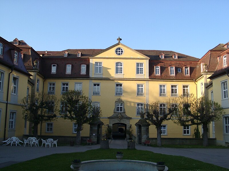
Deutsch:
Schloss Kirchberg an der Jagst
|
| Date | |
| Source | Selbst fotografiert (Klaus Graf). |
| Author | Klaus Graf |
| Camera location |
|
View this and other nearby images on: OpenStreetMap |
|
|---|
Licensing
This file is licensed under the
Creative Commons
Attribution 2.0 Generic
license.
-
You are free:
- to share – to copy, distribute and transmit the work
- to remix – to adapt the work
-
Under the following conditions:
- attribution – You must give appropriate credit, provide a link to the license, and indicate if changes were made. You may do so in any reasonable manner, but not in any way that suggests the licensor endorses you or your use.
Original upload log
Transferred from de.wikipedia to Commons by Rosenzweig .
The original description page was
here
. All following user names refer to de.wikipedia.
- 2005-04-24 23:53 Historiograf 2048×1536×8 (1204530 bytes) Schloss Kirchberg an der Jagst - selbst fotografiert (Klaus Graf) 22.4.2005 - {{Bild-CC-by/2.0}}