Saxony_mek.png

Size of this preview:
750 × 600 pixels
.
Other resolutions:
300 × 240 pixels
|
600 × 480 pixels
.
Summary
| Description |
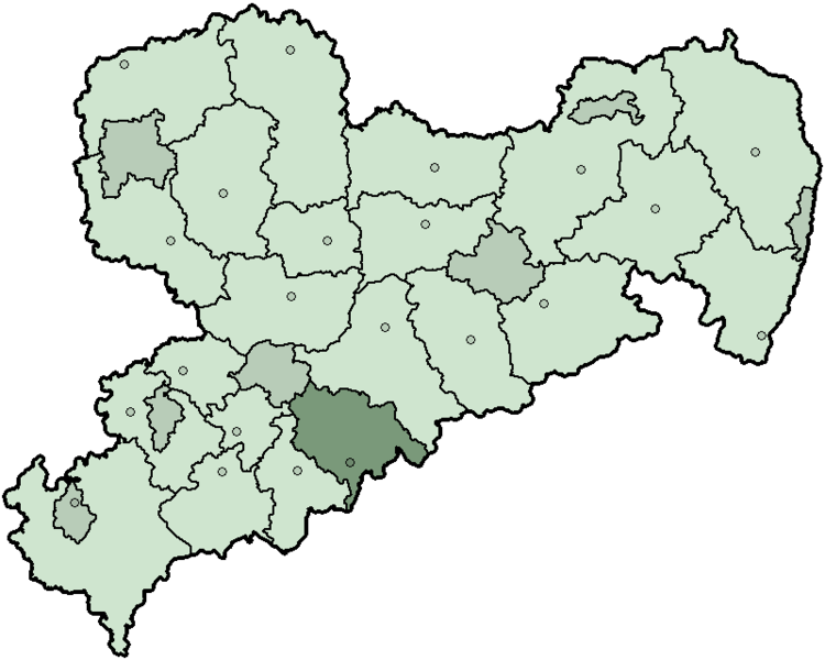
Deutsch:
Karte des Landes
Sachsen
in Deutschland, gegliedert in 22 Landkreise und sieben kreisfreie Städte (Stand vor der
Kreisreform Sachsen 2008
). Hervorgehoben ist der
Mittlerer Erzgebirgskreis
im Süden. Zusätzlich sind die Verwaltungssitze bzw. kreisfreien Städte markiert.
English:
Map of the state
Saxony
in Germany before 2008,
district Mittlerer Erzgebirgskreis
highlighted.
|
| Date | |
| Source | Own work |
| Author | First version was created by Baldhur (also know as Cordyph ) and colored by AHoerstemeier . Current version was created by TM based on Landkreise Sachsen.png , updated with information from www.sachsen.de and several other sources. |
Licensing

|
Permission is granted to copy, distribute and/or modify this document under the terms of the GNU Free Documentation License , Version 1.2 or any later version published by the Free Software Foundation ; with no Invariant Sections, no Front-Cover Texts, and no Back-Cover Texts. A copy of the license is included in the section entitled GNU Free Documentation License . |
|
|
This file is licensed under the Creative Commons Attribution-Share Alike 3.0 Unported license. | |
|
||
| This licensing tag was added to this file as part of the GFDL licensing update . |