Santa_Monica_Bay_Map.jpg
No higher resolution available.
Summary
English:
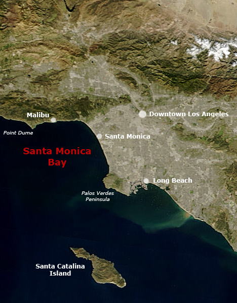
Satellite pictures of Southern California with Santa Monica Bay and Greater Los Angeles.
- Following the original text out of the English wikipedia, where it was originally uploaded:
- Map of Southern California with Santa Monica Bay identified
- Underlying map is an aerial map obtained from NASA (original:
- The labeling is by en:User:Mikeetc
Licensing
|
|
This file is in the public domain in the United States because it was solely created by NASA . NASA copyright policy states that "NASA material is not protected by copyright unless noted ". (See Template:PD-USGov , NASA copyright policy page or JPL Image Use Policy .) |
|

|
Warnings:
|