Saginaw_Airport_Map.jpg
No higher resolution available.
Summary
| Description | |
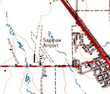
| Date | circa 1955 |
| Source | http://members.tripod.com/airfields_freeman/TX/Airfields_TX_FtWorth_NW.htm#saginaw |
| Author | United States Geological Survey |
|
Permission
( Reusing this file ) |
Public domain |
Licensing
|
|
This image is in the
public domain
in the United States because it only contains materials that originally came from the
United States Geological Survey
, an agency of the
United States Department of the Interior
. For more information, see
the official USGS copyright policy
.
|
|