Rottnest_aerial_photo_2.jpg

Size of this preview:
800 × 600 pixels
.
Other resolutions:
320 × 240 pixels
|
640 × 480 pixels
|
1,024 × 768 pixels
|
1,280 × 960 pixels
|
2,560 × 1,920 pixels
.
| Description |
English:
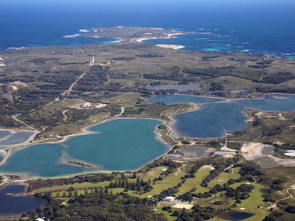
Aerial photograph of central
Rottnest Island
, photographed from above the Thomson Bay settlement, looking west towards Cape Vlamingh. Visible in the foreground are the golf course, wind turbine, Mt Herschell and some salt lakes.
|
| Date | |
| Source | Own work |
| Author | Mark |
| Other versions |
.jpg)
Licensing
I, the copyright holder of this work, hereby publish it under the following license:

|
Permission is granted to copy, distribute and/or modify this document under the terms of the GNU Free Documentation License , Version 1.2 or any later version published by the Free Software Foundation ; with no Invariant Sections, no Front-Cover Texts, and no Back-Cover Texts. A copy of the license is included in the section entitled GNU Free Documentation License . |