Rg-2005.jpg
Size of this preview:
701 × 599 pixels
.
Other resolutions:
281 × 240 pixels
|
561 × 480 pixels
|
856 × 732 pixels
.
Summary
| Description |
English:
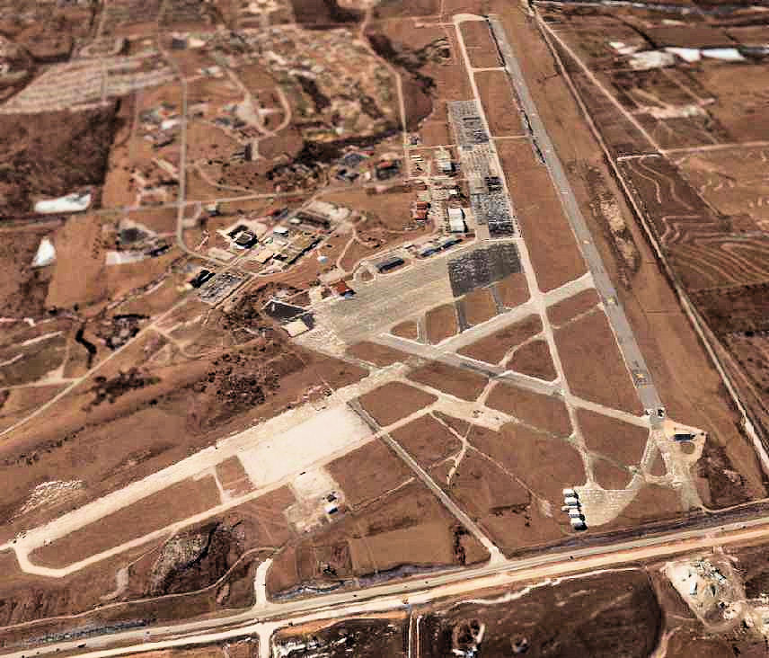
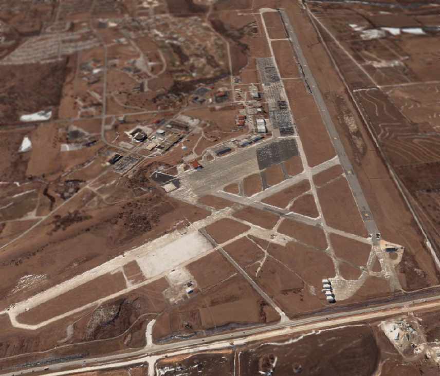
A circa 2000-2005 USGS aerial photo looking south at the former Richards-Gebaur AFB,
|
| Source | US Geological Survey via http://www.airfields-freeman.com/MO/RichardsGebaur_MO_00_s.jpg |
| Author | USGS |
|
Permission
( Reusing this file ) |
USGOV-PD |
Licensing
|
|
This image is in the
public domain
in the United States because it only contains materials that originally came from the
United States Geological Survey
, an agency of the
United States Department of the Interior
. For more information, see
the official USGS copyright policy
.
|
|