Reliefkarte_Ukraine_2022.png

Size of this preview:
800 × 544 pixels
.
Other resolutions:
320 × 217 pixels
|
640 × 435 pixels
|
1,024 × 696 pixels
|
1,280 × 870 pixels
|
2,876 × 1,954 pixels
.
Summary

|
This
map
image could be re-created
using
vector graphics
as an
SVG
file
. This has several advantages; see
Commons:Media for cleanup
for more information. If an SVG form of this image is available, please upload it and afterwards replace this template with
{{

vector version available

|

new image name

}}
.
It is recommended to name the SVG file “Reliefkarte Ukraine 2022.svg”—then the template Vector version available (or Vva ) does not need the new image name parameter. |
| Description |
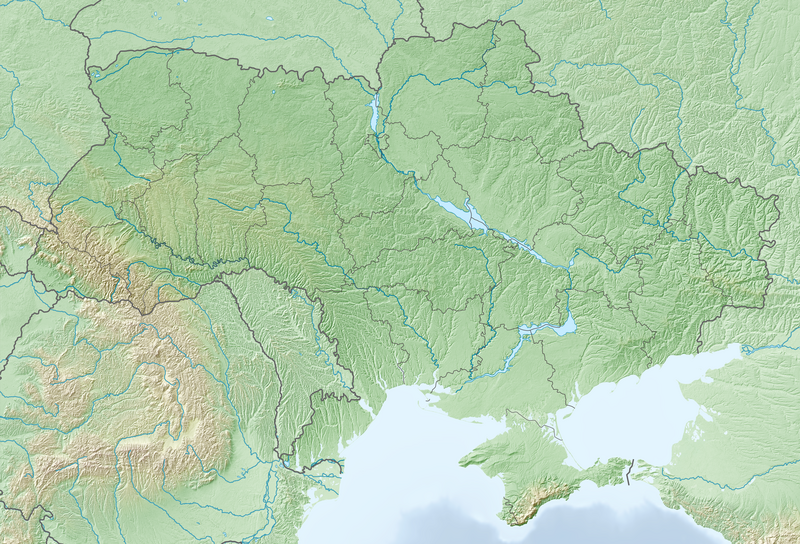
Deutsch:
Reliefkarte Ukraine
Topographischer Hintergrund:
NASA Shuttle Radar Topography Mission
(public domain). SRTM3 v.2.
|
||||||||
| Date | |||||||||
| Source | Own work | ||||||||
| Author | Tschubby | ||||||||
|
Permission
( Reusing this file ) |
I, the copyright holder of this work, hereby publish it under the following licenses:
This file is licensed under the
Creative Commons
Attribution-Share Alike
2.5 Generic
,
2.0 Generic
and
1.0 Generic
license.
You may select the license of your choice.
|
