Randalls_and_Wards_Islands.JPG
Size of this preview:
800 × 579 pixels
.
Other resolutions:
320 × 232 pixels
|
640 × 463 pixels
|
1,024 × 741 pixels
|
1,280 × 927 pixels
|
2,560 × 1,854 pixels
|
3,138 × 2,272 pixels
.
Summary
| Description |
English:
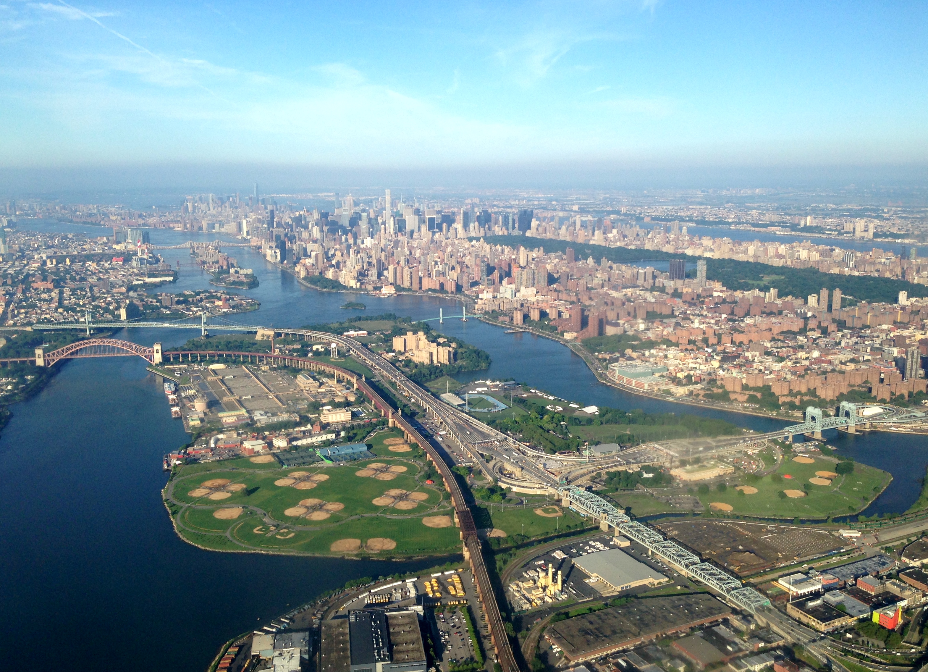
Randalls and Wards Islands and the Triborough Bridge, New York City, as seen from an aircraft departing LaGuardia Airport.
Deutsch:
Randalls Island
(rechter Teil der Insel),
Wards Island
(linker und oberer Teil), sowie die
Hell Gate Bridge
(Eisenbahnbrücke mit dem roten Bogen) und der Komplex der
Robert F. Kennedy Bridge
in New York von Nordost aus einem startenden Flugzeug (vom Flughafen LaGuardia) aus aufgenommen. Die beiden Inseln sind durch Landaufschüttungen mittlerweile verbunden.
|
| Date | |
| Source | Own work |
| Author | Roy Googin |
| Camera location |
|
View this and other nearby images on: OpenStreetMap |
|
|---|
Licensing
I, the copyright holder of this work, hereby publish it under the following license:
This file is licensed under the
Creative Commons
Attribution-Share Alike 4.0 International
license.
-
You are free:
- to share – to copy, distribute and transmit the work
- to remix – to adapt the work
-
Under the following conditions:
- attribution – You must give appropriate credit, provide a link to the license, and indicate if changes were made. You may do so in any reasonable manner, but not in any way that suggests the licensor endorses you or your use.
- share alike – If you remix, transform, or build upon the material, you must distribute your contributions under the same or compatible license as the original.