Raionul_Cantemir_location_map.jpg

Size of this preview:
468 × 599 pixels
.
Other resolutions:
187 × 240 pixels
|
375 × 480 pixels
|
599 × 768 pixels
|
1,125 × 1,441 pixels
.
Summary
| Description |
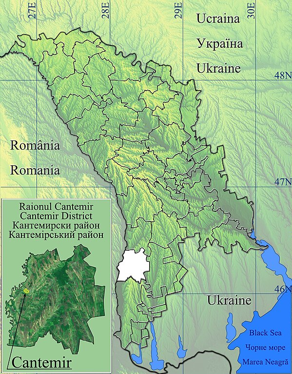
Română:
Harta de localizare raionul Cantemir, Moldova.
|
| Date | |
| Source | Topographic data SRTM from NASA and World Imagery & 3DEM & Inkscape |
| Author | Asybaris01 |
Licensing
|
|
This file is in the public domain in the United States because it was solely created by NASA . NASA copyright policy states that "NASA material is not protected by copyright unless noted ". (See Template:PD-USGov , NASA copyright policy page or JPL Image Use Policy .) |
|

|
Warnings:
|