R-g-afb-23mar1997.jpg

Size of this preview:
481 × 600 pixels
.
Other resolutions:
192 × 240 pixels
|
385 × 480 pixels
|
771 × 961 pixels
.
Summary
| Description |
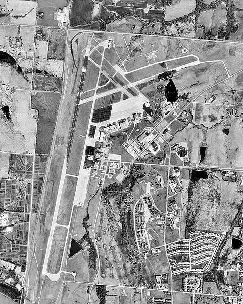
English:
USGS
orthophoto
of Richards-Gebaur Air Force Base, Missouri
|
| Date | |
| Source |
USGS The National Map , via MSR Maps (formerly TerraServer-USA) |
| Author | United States Geological Survey (USGS) |
|
Permission
( Reusing this file ) |
Public domain |
| Object location |
|
View this and other nearby images on: OpenStreetMap |
|
|---|
Licensing
|
|
This image is in the
public domain
in the United States because it only contains materials that originally came from the
United States Geological Survey
, an agency of the
United States Department of the Interior
. For more information, see
the official USGS copyright policy
.
|
|