Punahou_Pauahi_Hall_through_leaves.jpg
Size of this preview:
450 × 600 pixels
.
Other resolutions:
180 × 240 pixels
|
480 × 640 pixels
.
Summary
| Description |
English:
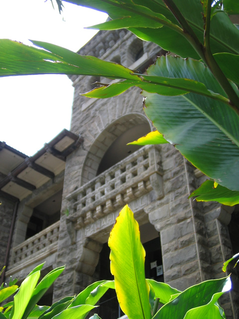
Pauahi Hall
, completed in 1896, designed by
Charles William Dickey
.
Punahou School
,
Honolulu
.
|
| Date | |
| Source | Transferred from en.wikipedia to Commons by Closeapple using CommonsHelper . |
| Author | Travis Dos Santos-Tam , Class of 2009 |
| Object location |
|
View this and other nearby images on: OpenStreetMap |
|
|---|
Licensing
Travis Dos Santos-Tam
at the
English-language Wikipedia
, the copyright holder of this work, hereby publishes it under the following license:
|
|
This file is licensed under the Creative Commons Attribution-Share Alike 3.0 Unported license. Subject to disclaimers . | |
| Attribution: Travis Dos Santos-Tam at the English-language Wikipedia | ||
|
||
| This licensing tag was added to this file as part of the GFDL licensing update . |

|
Permission is granted to copy, distribute and/or modify this document under the terms of the GNU Free Documentation License , Version 1.2 or any later version published by the Free Software Foundation ; with no Invariant Sections, no Front-Cover Texts, and no Back-Cover Texts. A copy of the license is included in the section entitled GNU Free Documentation License . Subject to disclaimers . |
Original upload log
The original description page was
here
. All following user names refer to en.wikipedia.
- 2006-04-29 06:34 Travisdst 480×640× (133429 bytes) Photo taken by Travis Dos Santos-Tam on April 5, 2006.