Pub_and_church,_Ford's_Farm_-_geograph.org.uk_-_1189052.jpg
No higher resolution available.
Summary
| Description |
English:
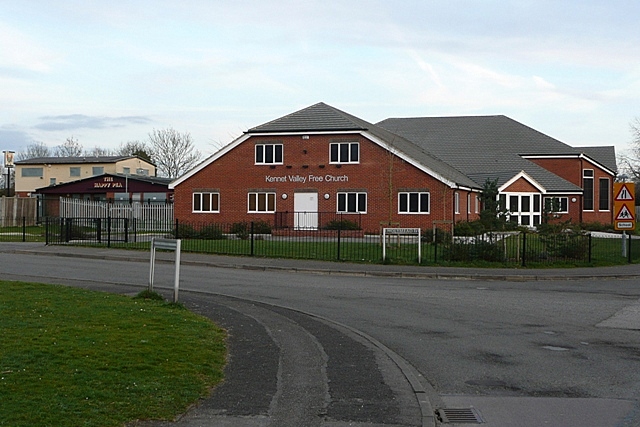
Pub and church, Ford's Farm The Kennet Valley Free church is a relatively recent building, it was not there when I was living in Ford's Farm from 1991 to 1996. The pub behind is now called the Happy Pea! I cannot remember its previous name, but it used to be an uninspired estate pub that I went into once.
|
| Date | |
| Source | From geograph.org.uk |
| Author | Graham Horn |
|
Attribution
( required by the license ) |
Graham Horn / Pub and church, Ford's Farm / |
| Camera location |
|
View this and other nearby images on: OpenStreetMap |
|
|---|
_heading:135.00&language=en)
| Object location |
|
View this and other nearby images on: OpenStreetMap |
|
|---|
_heading:135.00&language=en)
Licensing

|
This image was taken from the
Geograph project
collection. See
this photograph's page
on the Geograph website for the photographer's contact details. The copyright on this image is owned by
Graham Horn
and is licensed for reuse under the
Creative Commons
Attribution-ShareAlike 2.0 license.
|
This file is licensed under the
Creative Commons
Attribution-Share Alike 2.0 Generic
license.
Attribution:
Graham Horn
-
You are free:
- to share – to copy, distribute and transmit the work
- to remix – to adapt the work
-
Under the following conditions:
- attribution – You must give appropriate credit, provide a link to the license, and indicate if changes were made. You may do so in any reasonable manner, but not in any way that suggests the licensor endorses you or your use.
- share alike – If you remix, transform, or build upon the material, you must distribute your contributions under the same or compatible license as the original.