Powder-River-Map.jpg
No higher resolution available.
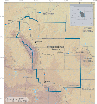
| Description | Powder River Basin Province of northeastern Wyoming and southeastern Montana. | |||
| Date | Unknown date | |||
| Source | http://pubs.usgs.gov/fs/fs-146-02/Powder-River-Map.jpg from http://pubs.usgs.gov/fs/fs-146-02/fs-146-02.html | |||
| Author | USGS | |||
|
Permission
( Reusing this file ) |
|