Plan_de_Paris_en_1787_par_Brion_de_la_Tour.jpg

Size of this preview:
800 × 561 pixels
.
Other resolutions:
320 × 224 pixels
|
640 × 449 pixels
|
1,024 × 718 pixels
|
1,280 × 897 pixels
|
2,560 × 1,795 pixels
|
6,291 × 4,411 pixels
.
Summary
| Description |
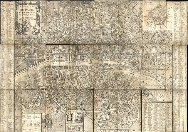
English:
Map of Paris (
Nouveau plan de Paris avec ses augmentations tant finies que projetées
) from 1787, designed par Brion de la Tour
Français :
Plan de Paris (
Nouveau plan de Paris avec ses augmentations tant finies que projetées
) en 1787 par Brion de La Tour
|
| Date | |
| Source | Flickr - BnF |
| Author | Pascal Terjan |
Licensing
This file is licensed under the
Creative Commons
Attribution 2.0 Generic
license.
-
You are free:
- to share – to copy, distribute and transmit the work
- to remix – to adapt the work
-
Under the following conditions:
- attribution – You must give appropriate credit, provide a link to the license, and indicate if changes were made. You may do so in any reasonable manner, but not in any way that suggests the licensor endorses you or your use.
|
|
This image was originally posted to Flickr by pterjan at https://www.flickr.com/photos/69455149@N00/301072094 . It was reviewed on 06:19, 13 October 2009 (UTC) by FlickreviewR , who found it to be licensed under the terms of the cc-by-2.0, which is compatible with the Commons. It is, however, not the same license as specified on upload, which was the cc-by-3.0, and it is unknown whether that license ever was valid. |