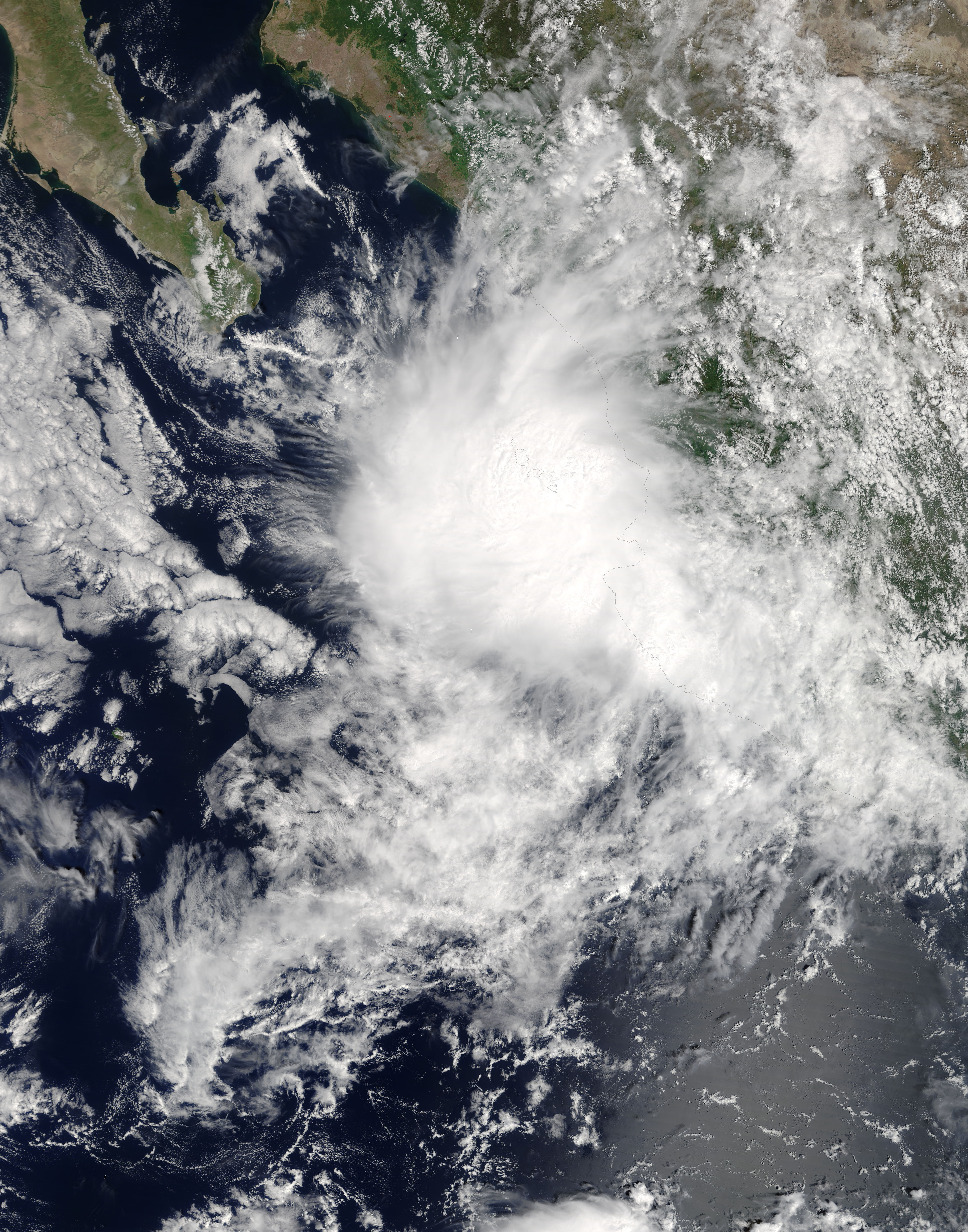
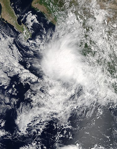
Pilar_2017-09-24_1740Z.jpg
Size of this preview:
471 × 599 pixels
.
Other resolutions:
188 × 240 pixels
|
377 × 480 pixels
|
603 × 768 pixels
|
804 × 1,024 pixels
|
1,609 × 2,048 pixels
|
4,400 × 5,600 pixels
.
Summary
| Description |
English:
Tropical Storm Pilar (18E) off Mexico
|
| Date | |
| Source | https://lance-modis.eosdis.nasa.gov/cgi-bin/imagery/single.cgi?image=Pilar.A2017267.1740.250m.jpg |
| Author | National Aeronautics and Space Administration, LANCE/EOSDIS Rapid Response, captured on Terra satellite |
| Metadata | https://lance-modis.eosdis.nasa.gov/cgi-bin/imagery/single.cgi?metadata=Pilar.A2017267.1740.txt |
| Satellite | Terra |
| Camera location |
|
View this and other nearby images on: OpenStreetMap |
|
|---|
Licensing
|
|
This file is in the public domain in the United States because it was solely created by NASA . NASA copyright policy states that "NASA material is not protected by copyright unless noted ". (See Template:PD-USGov , NASA copyright policy page or JPL Image Use Policy .) |
|

|
Warnings:
|