Pakistan_India_Locator_2.png
Size of this preview:
800 × 412 pixels
.
Other resolutions:
320 × 165 pixels
|
640 × 329 pixels
|
1,376 × 708 pixels
.
Summary
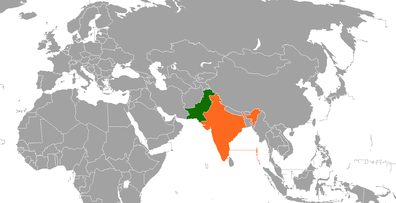
| Description | De facto map between Pakistan and India. |
| Date | 21 July 2007 (original upload date) |
| Source | Transferred from en.wikipedia to Commons. |
| Author | Grubb at English Wikipedia |
Licensing
Grubb
at
English Wikipedia
, the copyright holder of this work, hereby publishes it under the following licenses:

|
Permission is granted to copy, distribute and/or modify this document under the terms of the GNU Free Documentation License , Version 1.2 or any later version published by the Free Software Foundation ; with no Invariant Sections, no Front-Cover Texts, and no Back-Cover Texts. A copy of the license is included in the section entitled GNU Free Documentation License . |
|
|
This file is licensed under the Creative Commons Attribution-Share Alike 3.0 Unported license. | |
| Attribution: Grubb at English Wikipedia | ||
|
||
| This licensing tag was added to this file as part of the GFDL licensing update . |
This file is licensed under the
Creative Commons
Attribution-Share Alike
2.5 Generic
,
2.0 Generic
and
1.0 Generic
license.
Attribution:
Grubb
at
English Wikipedia
-
You are free:
- to share – to copy, distribute and transmit the work
- to remix – to adapt the work
-
Under the following conditions:
- attribution – You must give appropriate credit, provide a link to the license, and indicate if changes were made. You may do so in any reasonable manner, but not in any way that suggests the licensor endorses you or your use.
- share alike – If you remix, transform, or build upon the material, you must distribute your contributions under the same or compatible license as the original.
You may select the license of your choice.
|
|
Warning! According to Indian law, it is illegal to produce maps that in the view of the Indian government, misrepresent Indian territories by showing areas the Indian government claims ownership of but does not control as not belonging to India or as being contested. |
Original upload log
The original description page was
here
. All following user names refer to en.wikipedia.
| Date/Time | Dimensions | User | Comment |
|---|---|---|---|
| 2007-07-21 03:32 | 1357×628× (46368 bytes) | Grubb | |
| 2007-07-21 03:31 | 1357×628× (46368 bytes) | Grubb |