Ok-51_path.png

Size of this preview:
800 × 488 pixels
.
Other resolutions:
320 × 195 pixels
|
640 × 391 pixels
|
944 × 576 pixels
.
Summary
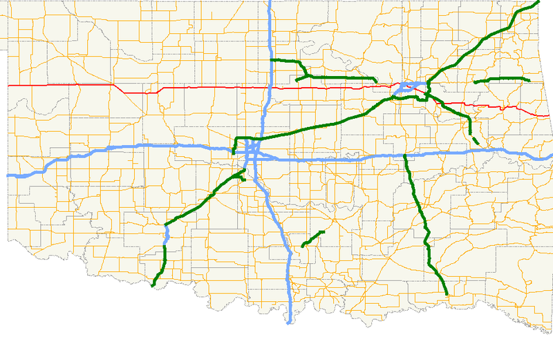
| Description | A map showing the path of State Highway 51 and its spurs in Oklahoma. |
| Date | |
| Source |
Created by me in Quantum GIS 0.8.0 based on data collected from http://www.geo.ou.edu/ . |
| Author | Scott Nazelrod |
|
Permission
( Reusing this file ) |
Public domain, credit appreciated but not required |
Licensing
|
|
I, the copyright holder of this work, release this work into the
public domain
. This applies worldwide.
In some countries this may not be legally possible; if so: I grant anyone the right to use this work for any purpose , without any conditions, unless such conditions are required by law. |