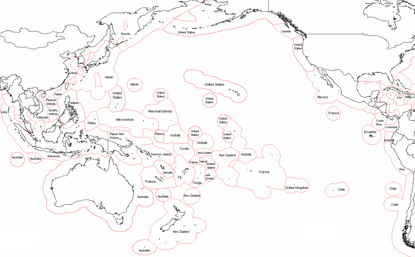
Oceania_Political_Map_(EEZ_based).png
Size of this preview:
800 × 495 pixels
.
Other resolutions:
320 × 198 pixels
|
640 × 396 pixels
|
1,024 × 634 pixels
|
1,347 × 834 pixels
.
| Description | Political map of Oceania - based on EEZ borders | ||
| Date | |||
| Source | I, Alinor ( talk ) created this work entirely by myself. | ||
| Author | Alinor ( talk ) | ||
|
Permission
( Reusing this file ) |
I, the copyright holder of this work, hereby publish it under the following licenses:
This file is licensed under the
Creative Commons
Attribution-Share Alike 3.0 Unported
license.
You may select the license of your choice.
|
||
| Other versions | based on File:Realm of New Zealand Exclusive Economic Zones.png |
