Novi_sad02_mun.png

Size of this preview:
800 × 580 pixels
.
Other resolutions:
320 × 232 pixels
|
640 × 464 pixels
|
920 × 667 pixels
.
Summary
| Description |
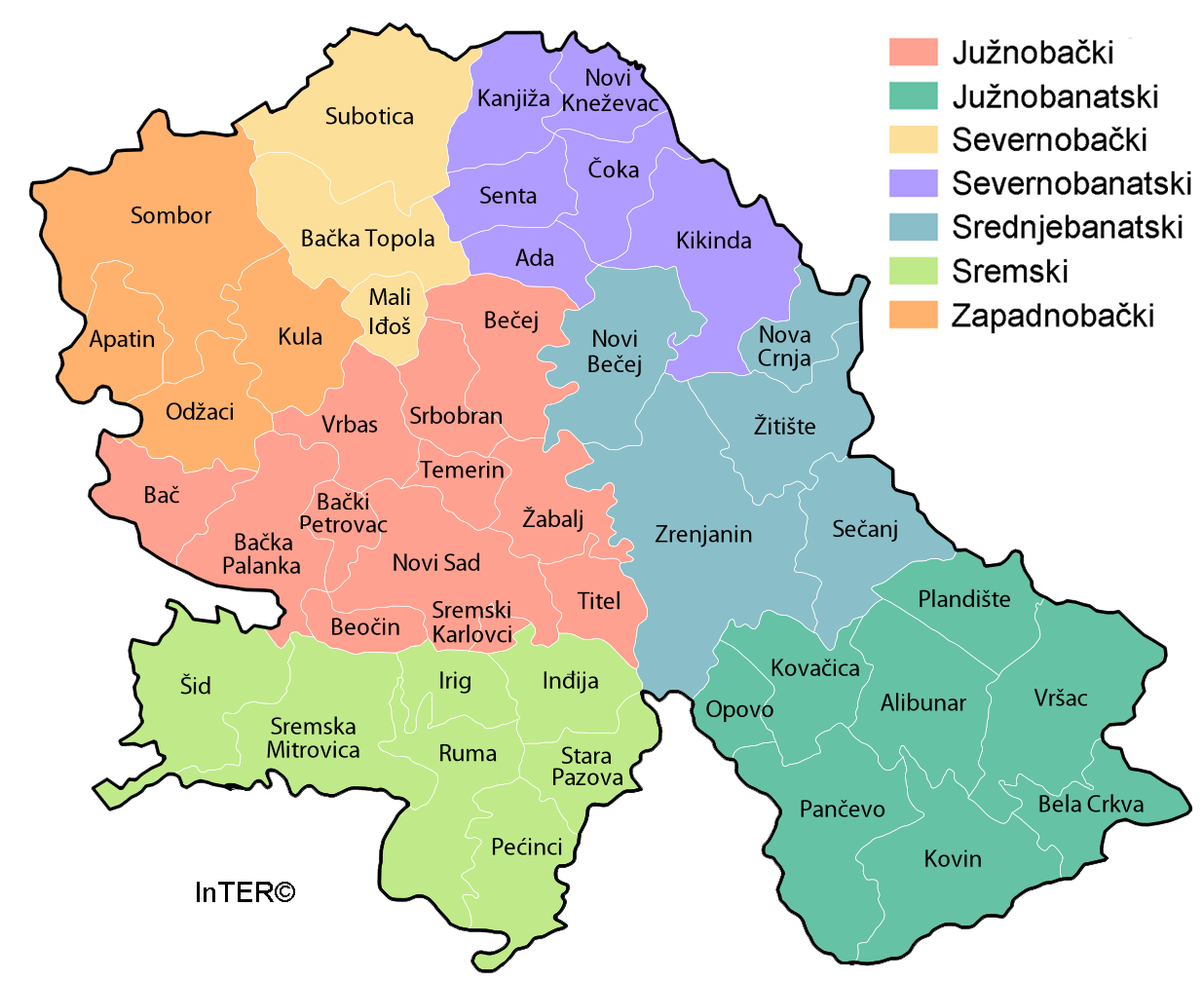
Map of Novi Sad City administrative area.
|
| Date | 16 February 2009 (original upload date) |
| Source | No machine-readable source provided. Own work assumed (based on copyright claims). |
| Author | No machine-readable author provided. PANONIAN assumed (based on copyright claims). |
Source and license
self made map by user:PANONIAN
Licensing
|
|
I, the copyright holder of this work, release this work into the
public domain
. This applies worldwide.
In some countries this may not be legally possible; if so: I grant anyone the right to use this work for any purpose , without any conditions, unless such conditions are required by law. |
References
- Geografski atlas, Magic Map, Smederevska Palanka, 2001.
- Geografski atlas, Intersistem Kartografija, Beograd, 2004.
- Denis Šehić - Demir Šehić, Geografski atlas Srbije, Beograd, 2007.
- Dr Slobodan Ćurčić, Naselja Bačke - geografske karakteristike, Novi Sad, 2007.
- http://vajdasag.rs/images/0/02/Vajdaság_autóstérképe.png archive copy at the Wayback Machine
- http://www.arhiurb.vojvodina.gov.rs/postavljen/3/2011%20jun%20%20RPP%20APV%20za%20web.jpg
- http://www.lokalnirazvoj.org/upload/Book/Image/2012_03/Vojvodina_Region.jpg
- http://www.skupstinavojvodine.gov.rs/Slike/opstine.gif archive copy at the Wayback Machine
- http://mapy.mk.cvut.cz/data/Jugoslavie-Yugoslavia/Serbia/Serbia_topo_1.100000/images/378%20Novi%20Sad.jpg