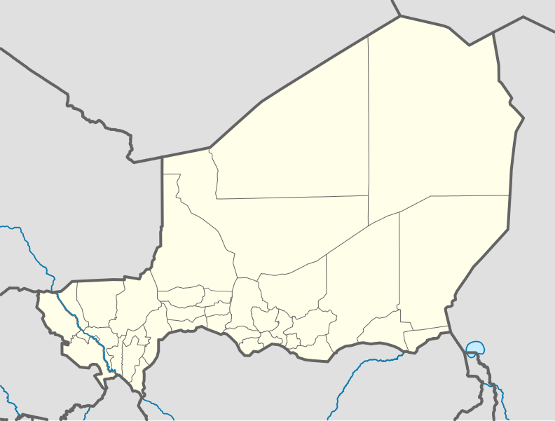
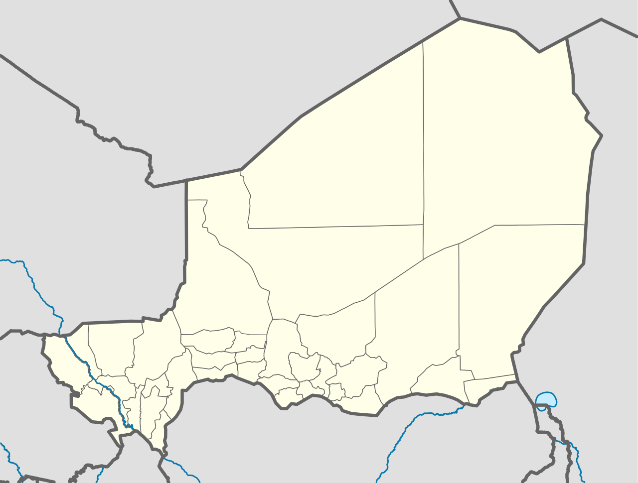
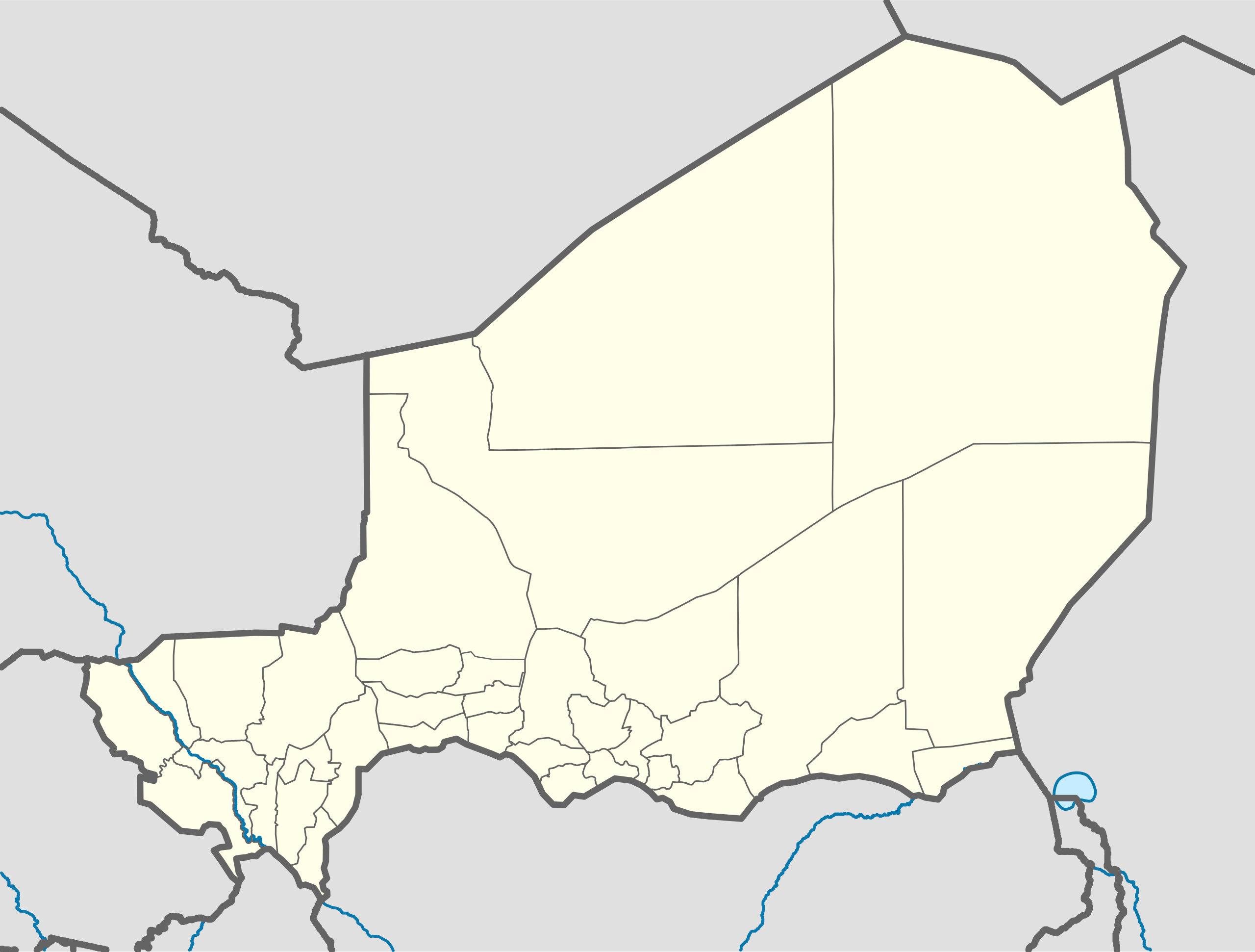
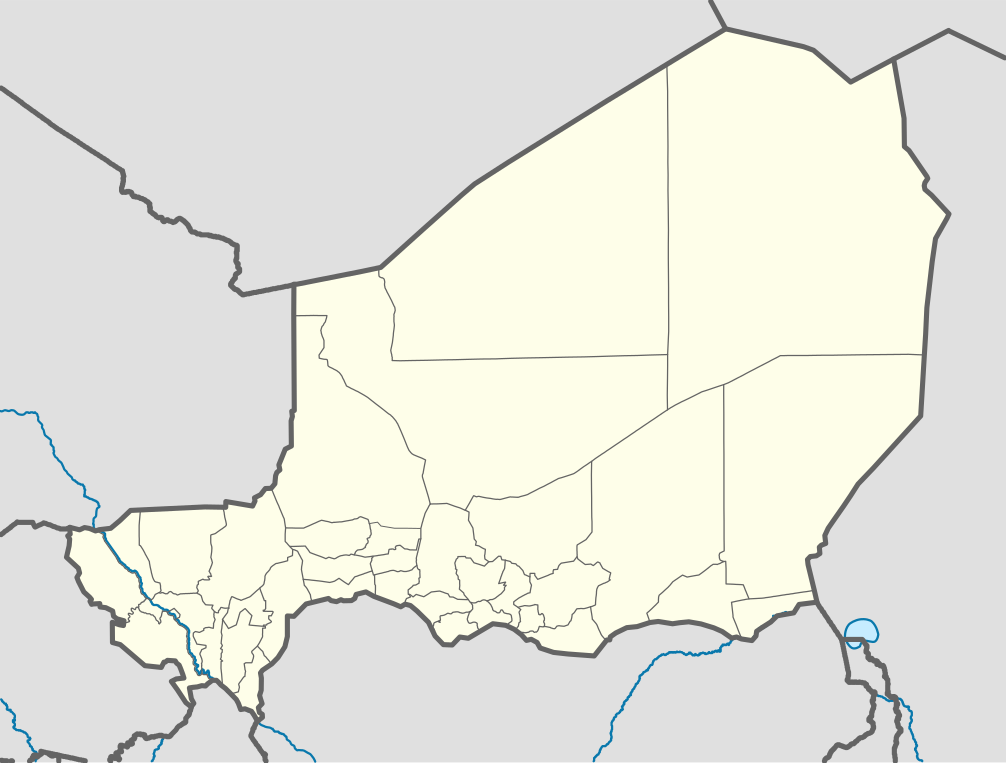
Niger_location_map.svg

Size of this PNG preview of this SVG file:
792 × 600 pixels
.
Other resolutions:
317 × 240 pixels
|
634 × 480 pixels
|
1,014 × 768 pixels
|
1,280 × 970 pixels
|
2,560 × 1,939 pixels
|
1,006 × 762 pixels
.
Summary
| Description |
Deutsch:
Positionskarte von
Niger
Quadratische Plattkarte , N-S-Streckung. Geographische Begrenzung der Karte:
English:
Location map of
Niger
Equirectangular projection, N/S stretching. Geographic limits of the map:
|
| Date | |
| Source |
Own work , using
|
| Author | Carport |
| Other versions |
|
| SVG development |
This W3C-
invalid
map
was created with
Adobe Illustrator
.
|

Licensing
This file is licensed under the
Creative Commons
Attribution-Share Alike 2.0 Generic
license.
-
You are free:
- to share – to copy, distribute and transmit the work
- to remix – to adapt the work
-
Under the following conditions:
- attribution – You must give appropriate credit, provide a link to the license, and indicate if changes were made. You may do so in any reasonable manner, but not in any way that suggests the licensor endorses you or your use.
- share alike – If you remix, transform, or build upon the material, you must distribute your contributions under the same or compatible license as the original.